White Pass and Skagway

We made it! Our first stop in Alaska.
My eyes were wide, my mind was open and I was ready to experience Alaska, whatever it held in store.
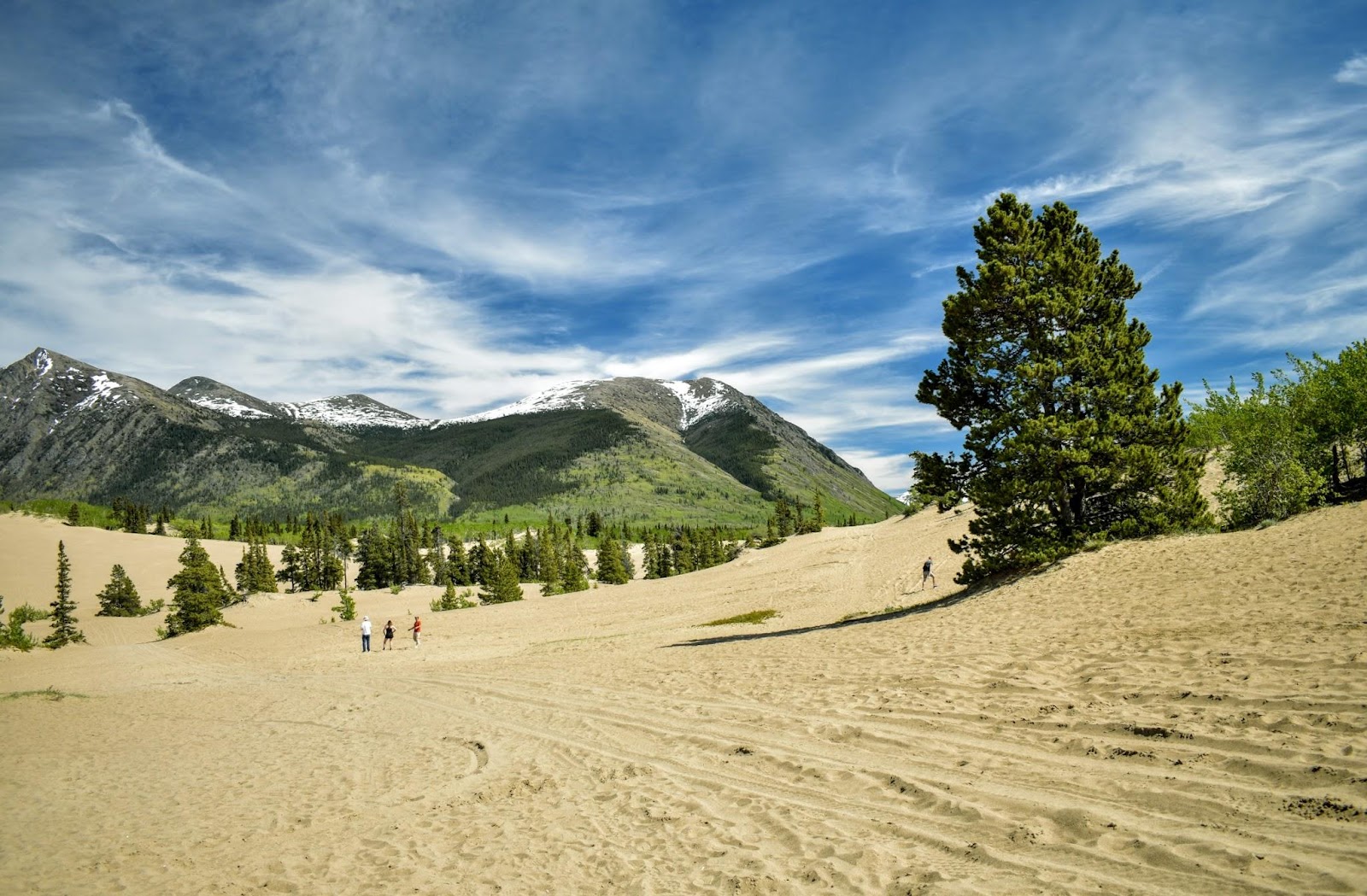
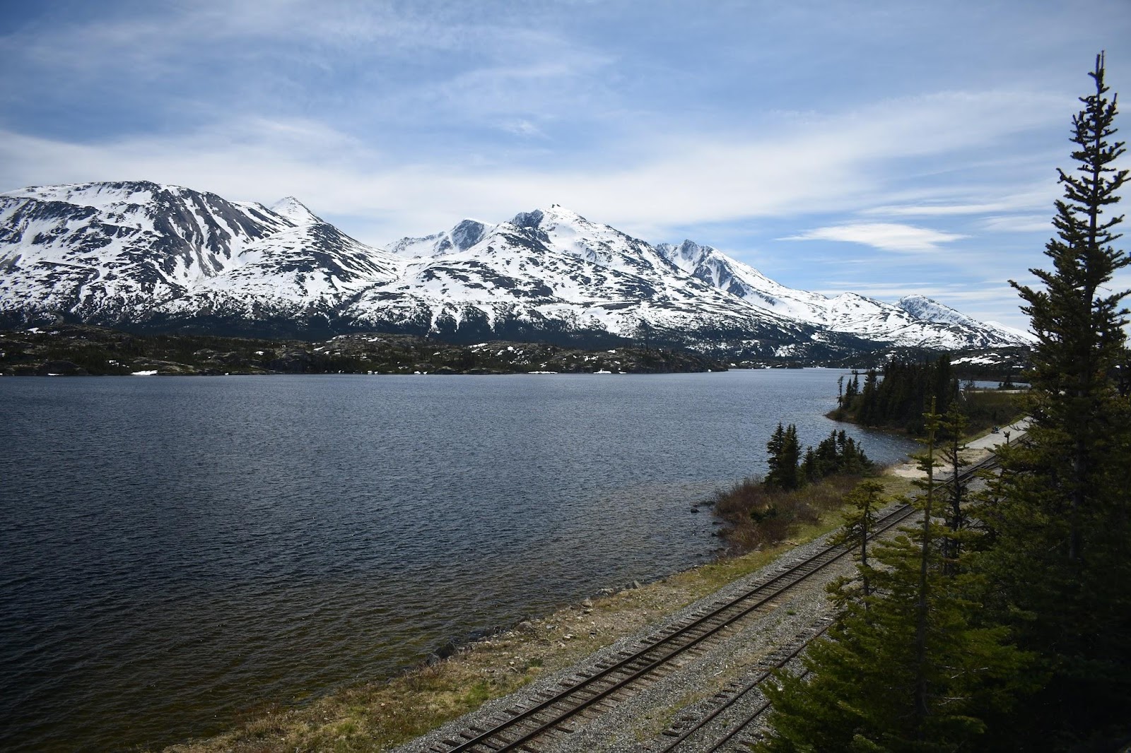
But before I get into Skagway, I just have to talk about the drive from Whitehorse through the White pass. It was so beautiful, so stunning, so unusual. As I said in my last post, I know we were still a long way from the Arctic circle, but it just felt like we were there, in the arctic. After leaving Whitehorse and making our way up through the mountains we came upon a most surprising site. A desert with sand dunes! Say, what? I'm not kidding, but I'll explain more with the pics. Continuing up over the mountains there is a section of highway where it is relatively flat, lots of water, lakes, rivers, few to no trees, (and the ones that are there are misshapen), shrubs, rocky, barren, much still covered with melting snow and ice surrounded by mountains off in the distance. White mountains. Snow covered mountains. Then, toward the end of this “high plateau” section the road starts heading down, down, down nearly 3,000’, all the way down to sea level in less than 20 miles, all while cutting through these snowy, glacial covered mountains eventually arriving in Skagway.
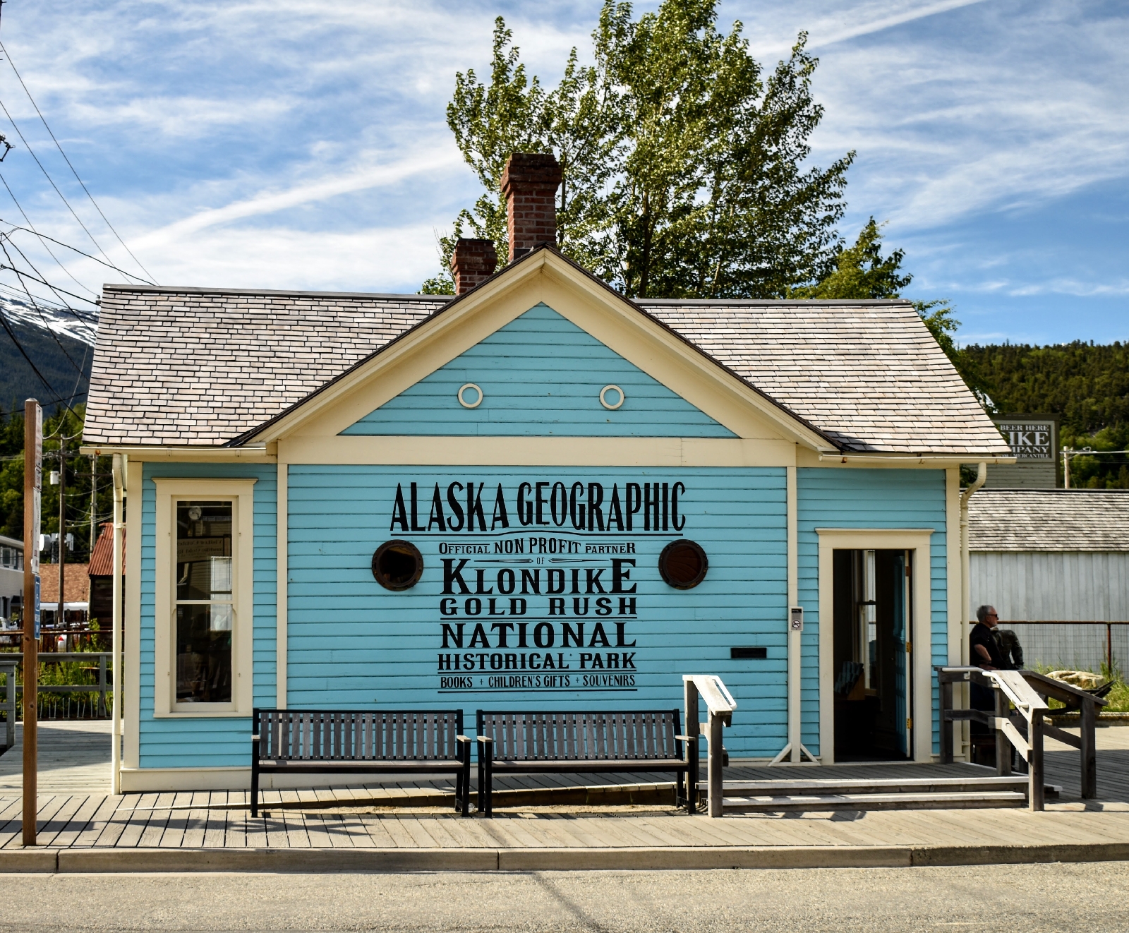
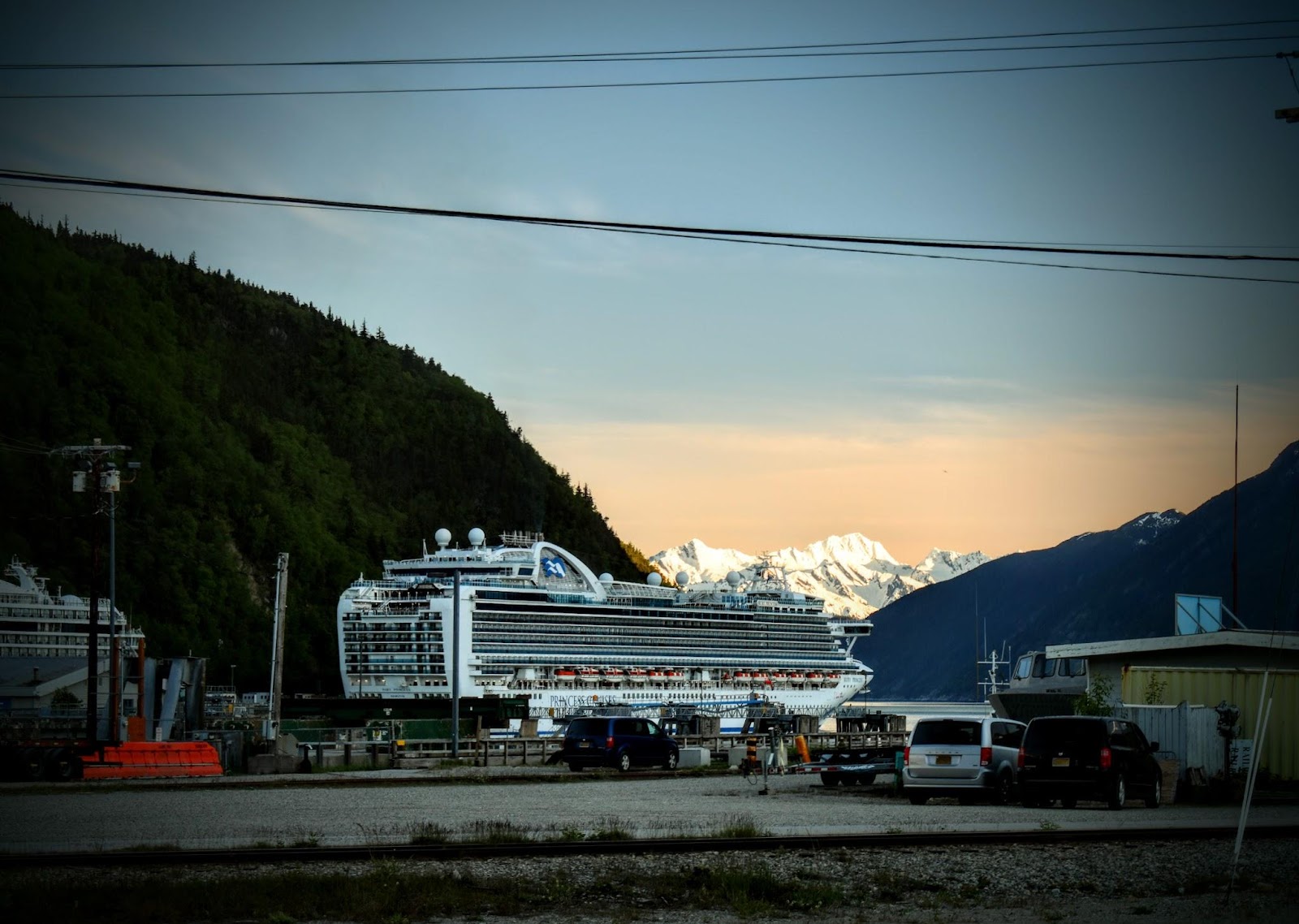
Skagway the little town on the Lynn Canal at the upper end of the inside passage. The little town with a population of a just over 1,000 that more than doubles in the summer months. The little town that is precariously perched at the bottom of a ravine the Skagway river carved through the coastal mountains. The little town on a bit of a delta and shoreline wrested from between the Skagway river, the Lynn Canal and the mountains. The little town with just over 9 square miles of land, and only a few of them habitable. This little town was once one of the major entry points into one of the biggest gold rushes in history, the Klondike. It's hard to imagine, but the population swelled to 10,000 in 1898. Where did all those people go in that confined space between the mountains and the sea? It makes me shudder to think about it.
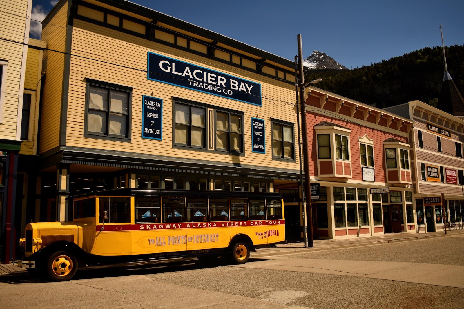
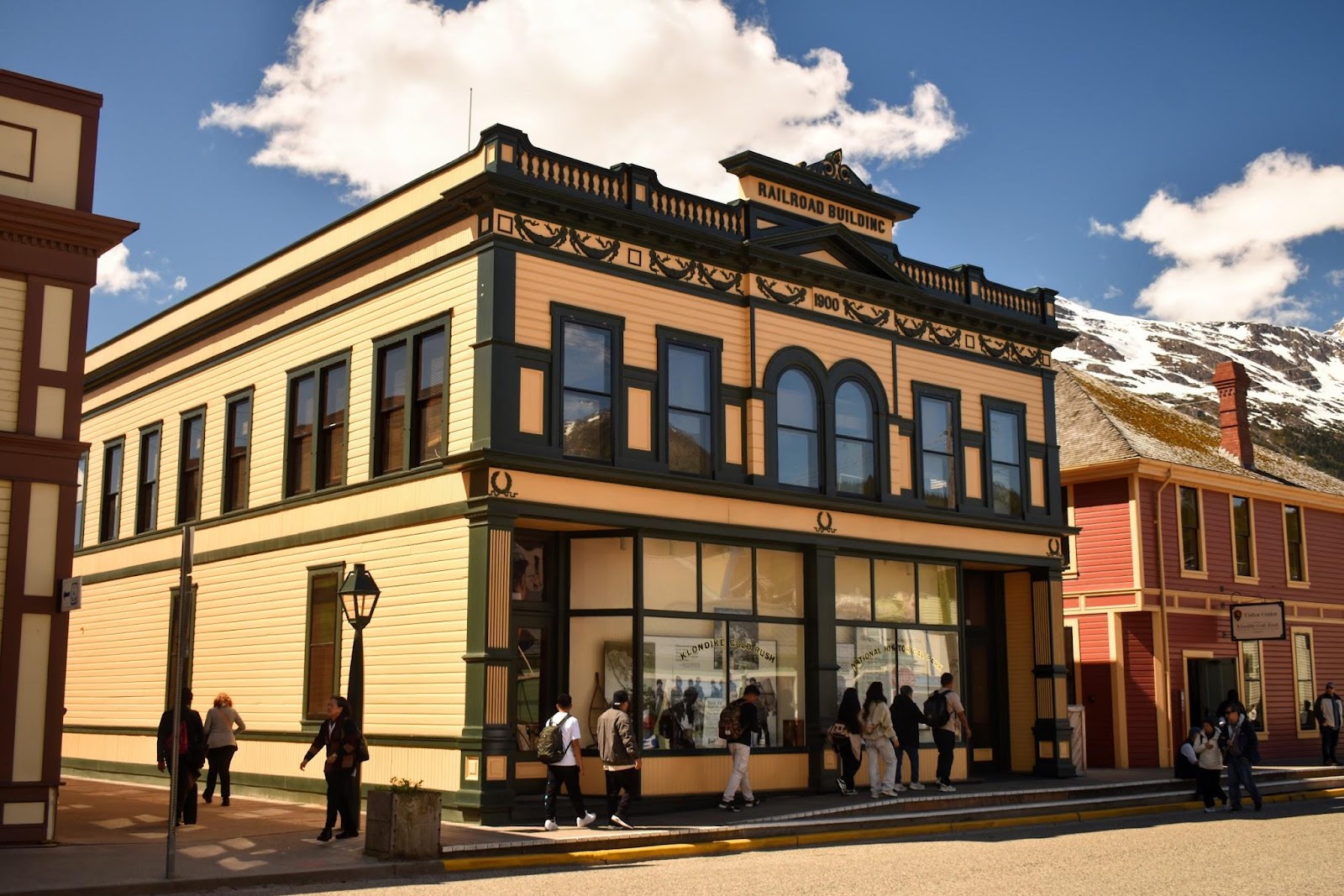
Skagway is essentially a rectangle built up from the harbor. The first segment, the harbor, is primarily business; cruise ships, (giant) cruise ships, fishing boats and other commercial shipping, water treatment, fuel tanks, the airport tucked in on one side next to the river and a rare restaurant. The next chunk is the historic Skagway. Wooden sidewalks, restored buildings, steam engines, shops and restaurants, the third chunk is where the real people live; small little houses, (nothing to speak of), a school and the fourth chunk is where they might work if they don't work in a service/tourist related job; the lumber yard, the train yard, the town garage and lastly, a few miles up the road on the mountain is the town incinerator. They burn all their trash and have the area locked up like Fort Knox because of, wait for it … bears!
One's impression of Skagway depended very much on which “section” you were in.
One last note, I often look up real estate prices where we are traveling, just to get an idea. Skagway had some of the highest prices I'd seen! Ok, so it is beautiful there, but I presume it's because of the remoteness and difficulty actually getting building supplies or for that matter, supplies of any kind. You have a different mindset about what's important when the grocery store doesn't even have any fresh milk, but they will probably be getting their order by the end of the week and it should have milk...
On to pics:
Traveling from Whitehorse to Skagway
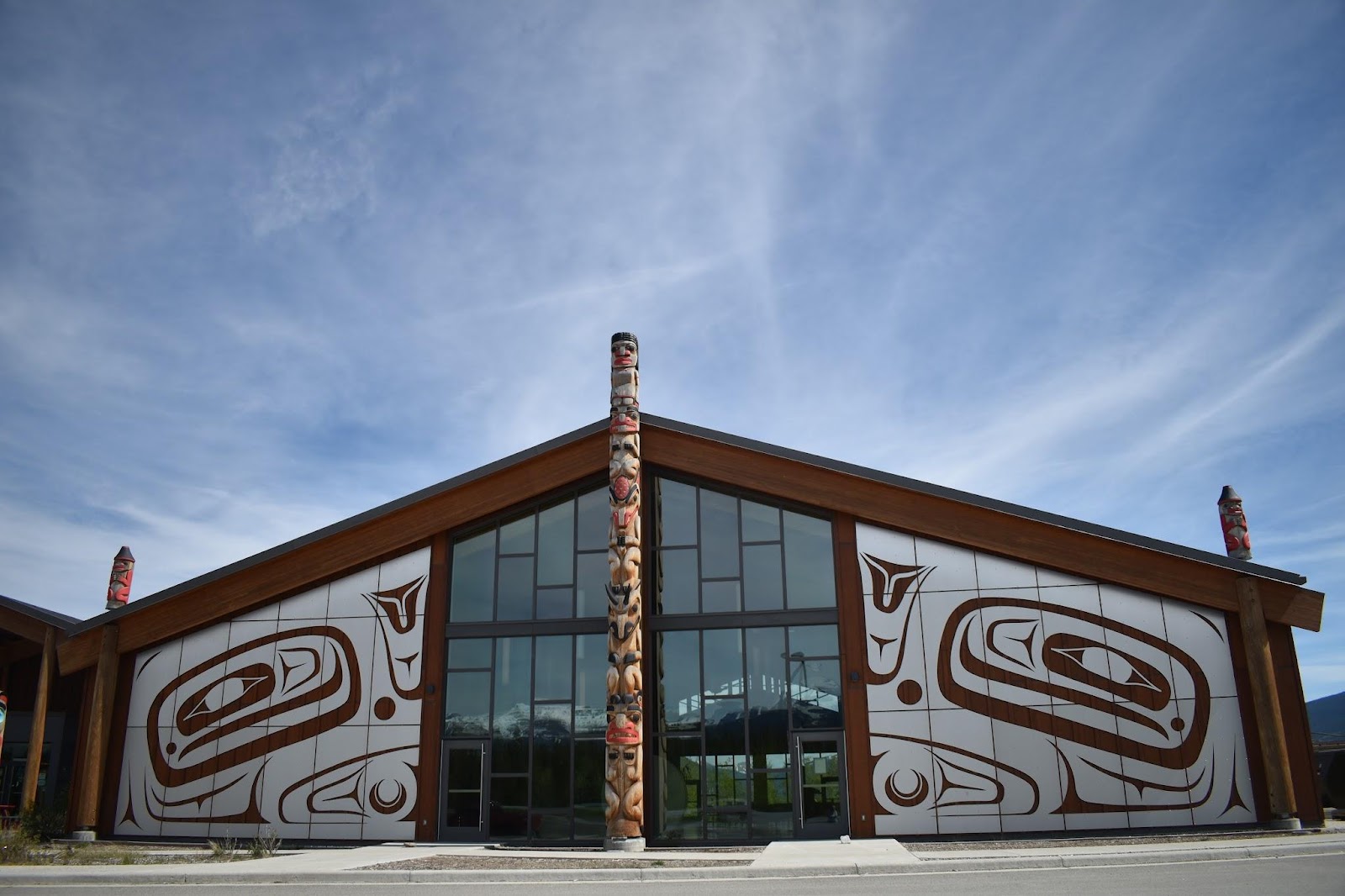
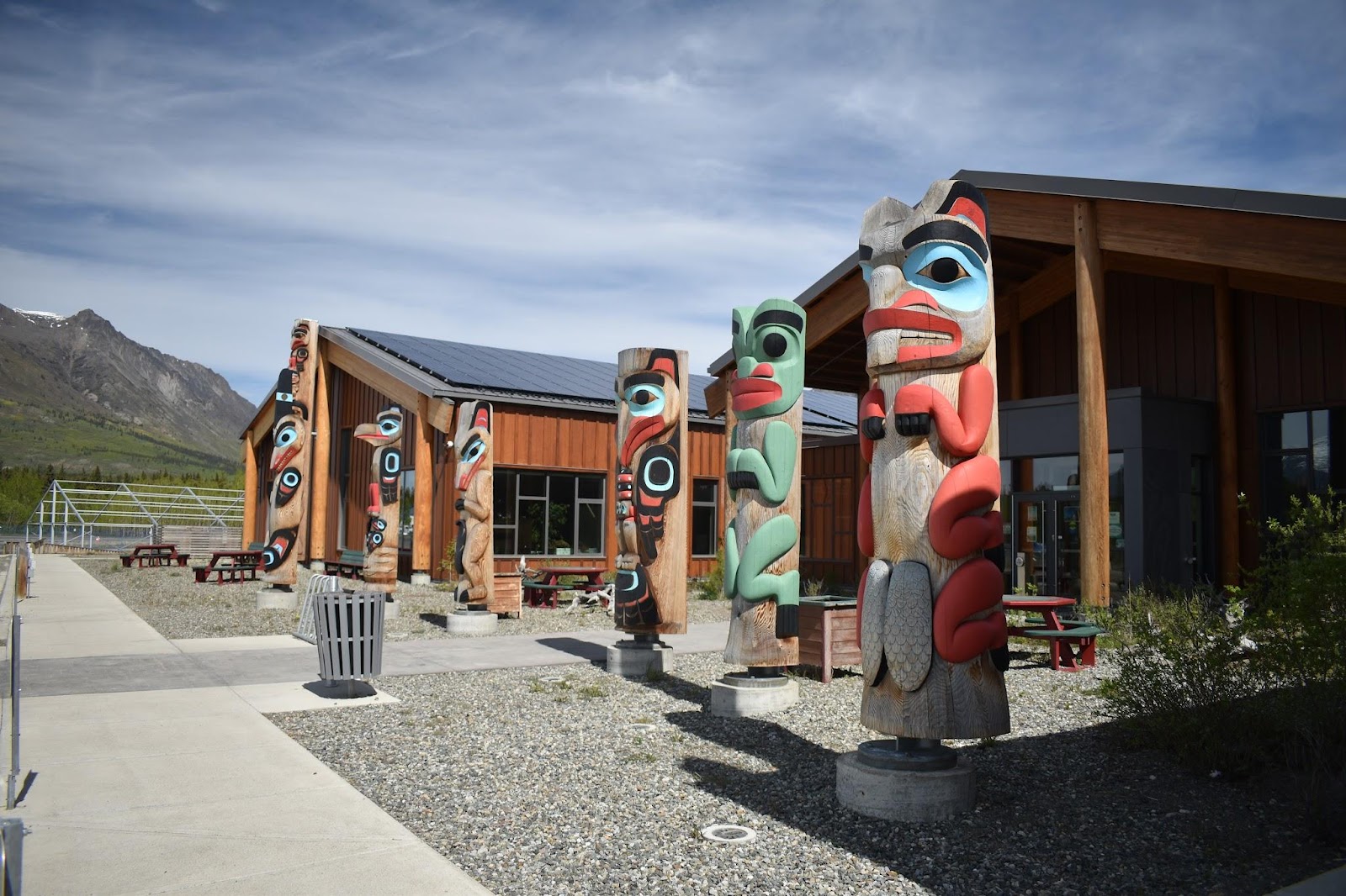
Carcross (formerly known as Caribou Crossing) is home to the Carcross Tagish First Nation.
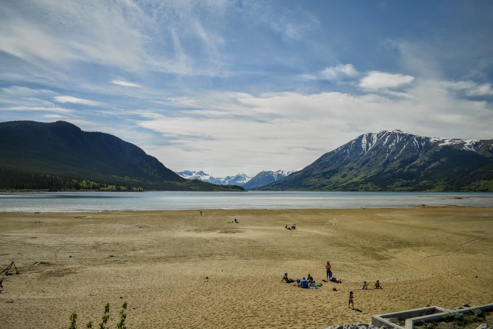
It is also home to the Carcross desert, which at less than 1 sq mile, is the smallest desert in the world and yes indeed, that is sand and those are sand dunes tucked in amongst the greenery and mountains. But, spoiler alert, it isn't a “true” desert. It receives too much precipitation in a year and the air contains too much moisture, ie it's too humid. The sand is a left over from the ice age when the area was covered by large lakes and as the water evaporated, wind blew the sand and silt into dunes. They still call it the Carcross Desert though. This has also been a favorite place for caribou herds to cross, hence the previous name of the village. And, this was also another destination point for the Stampeders (gold rushers). Having made it up over the White Pass and then on to Lake Bennett, they would overwinter in Carcross, making boats, rafts, canoes anything that would take them the rest of the way on the waterways to the Klondike, about 500 miles away. Carcross desert
Stampeders would camp on the shores of Lake Bennett, while they waited for the ice to melt so they could head downstream to the Yukon and then the Klondike rivers.
Between the Stampeders and the Carcross Tagish people, it was a fun spot to explore
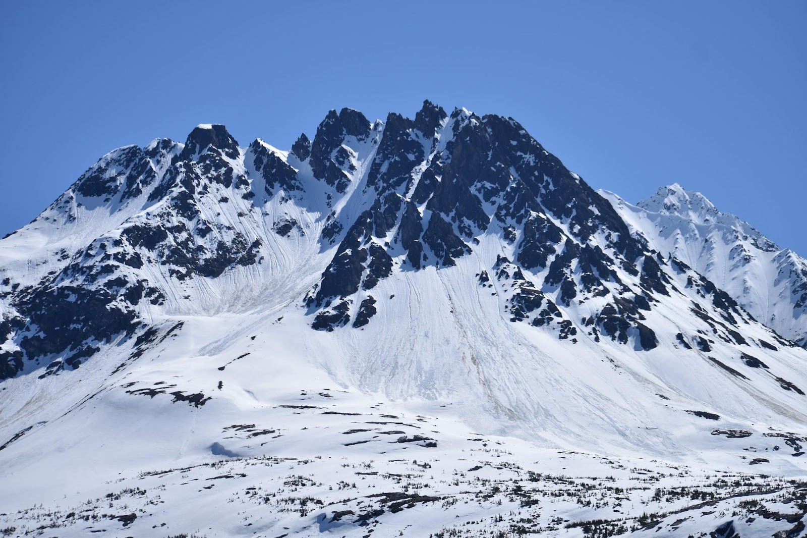
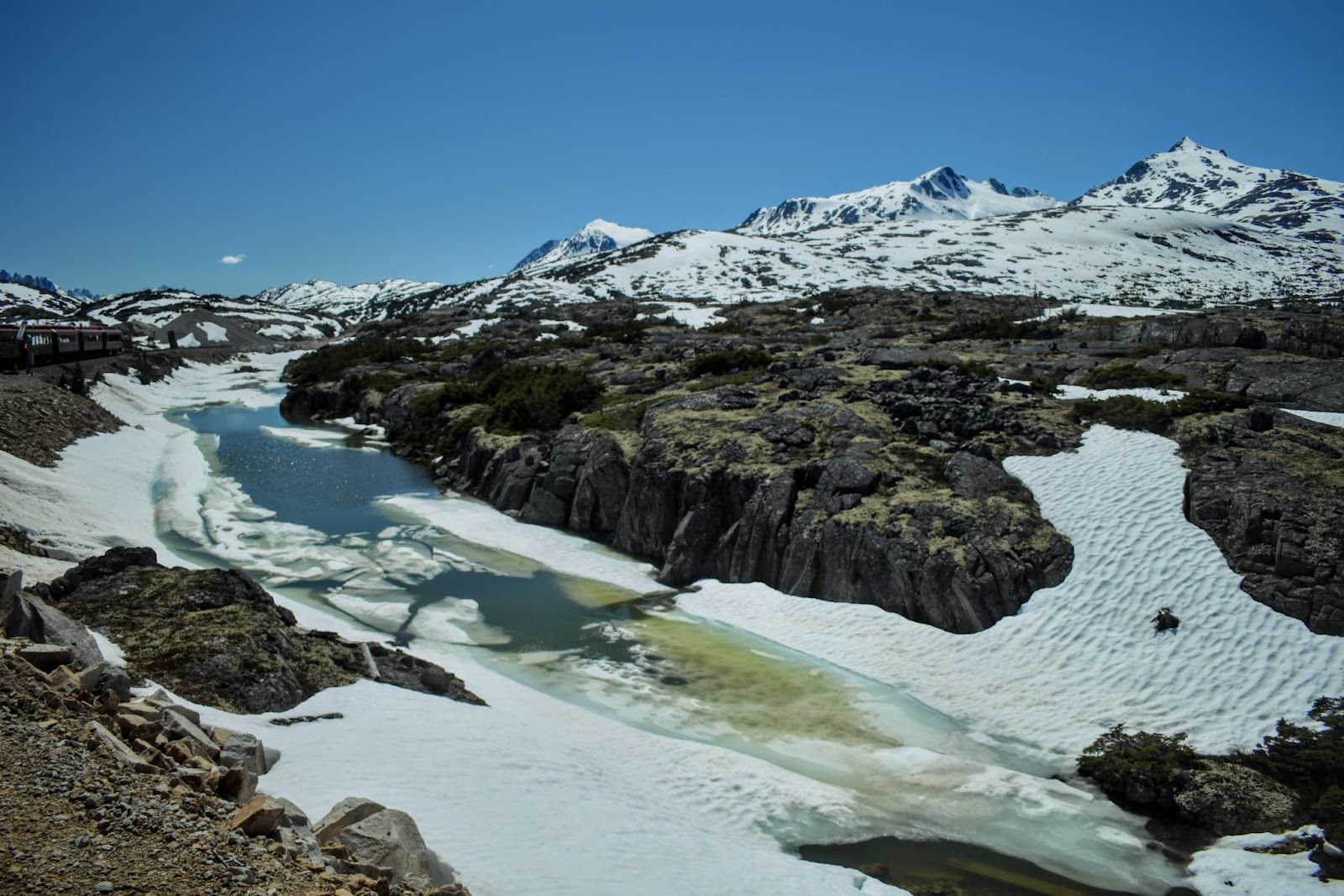
Leaving Carcross behind, it wasn't long before reaching this high plateau section that was water, ice, snow, and rock. I thought it was so beautiful and arctic-like.
shimmering reflections
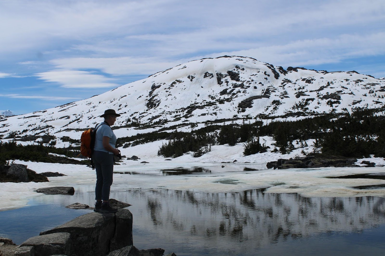
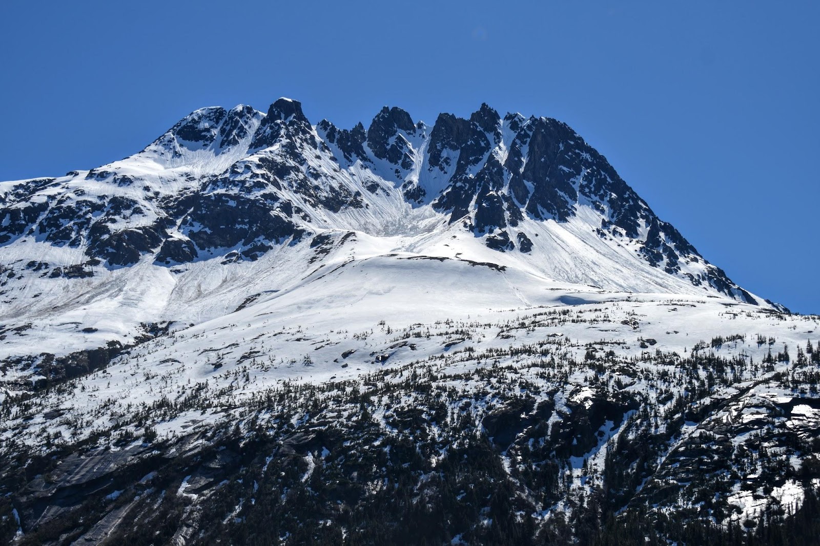
ice and snow still coat the rock
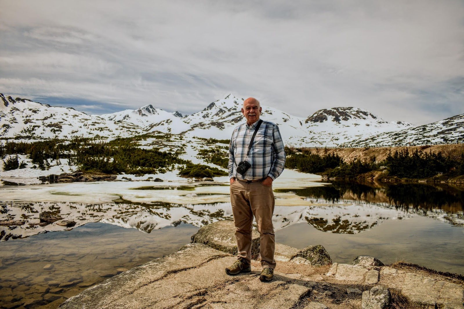
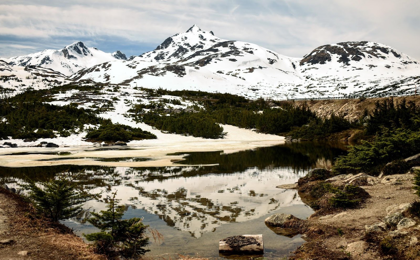
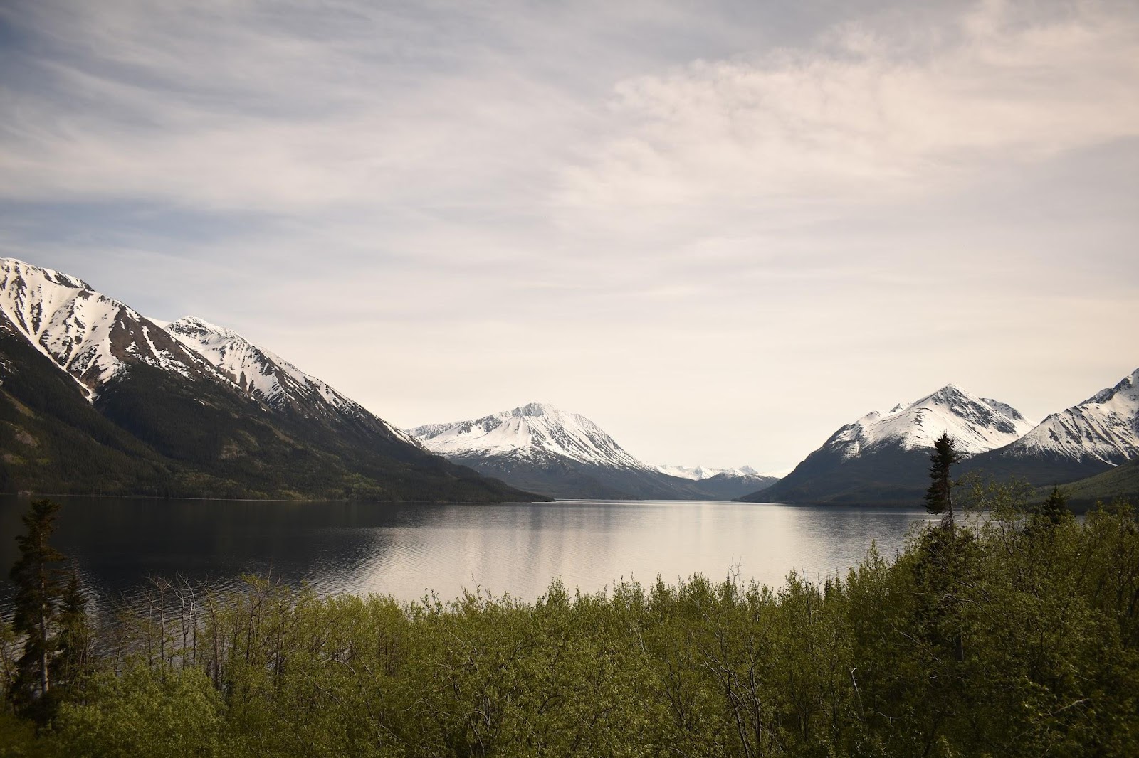
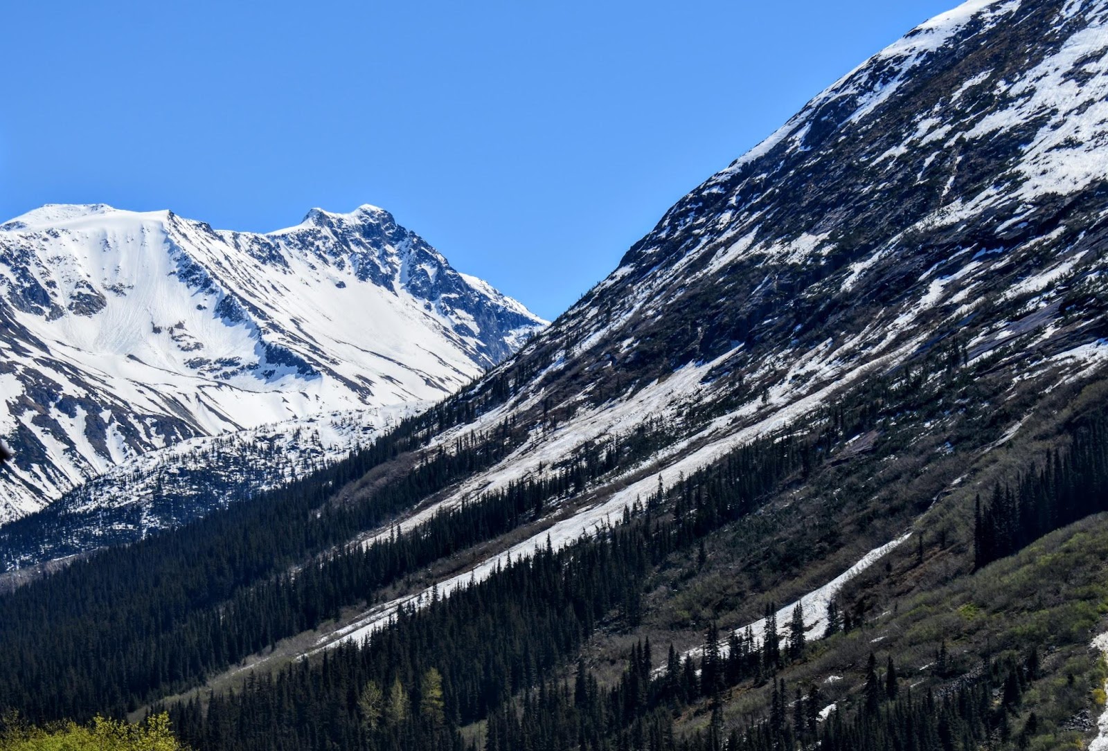
continuing to drive along with stunning scenes of water and mountain peaks, some were snowy
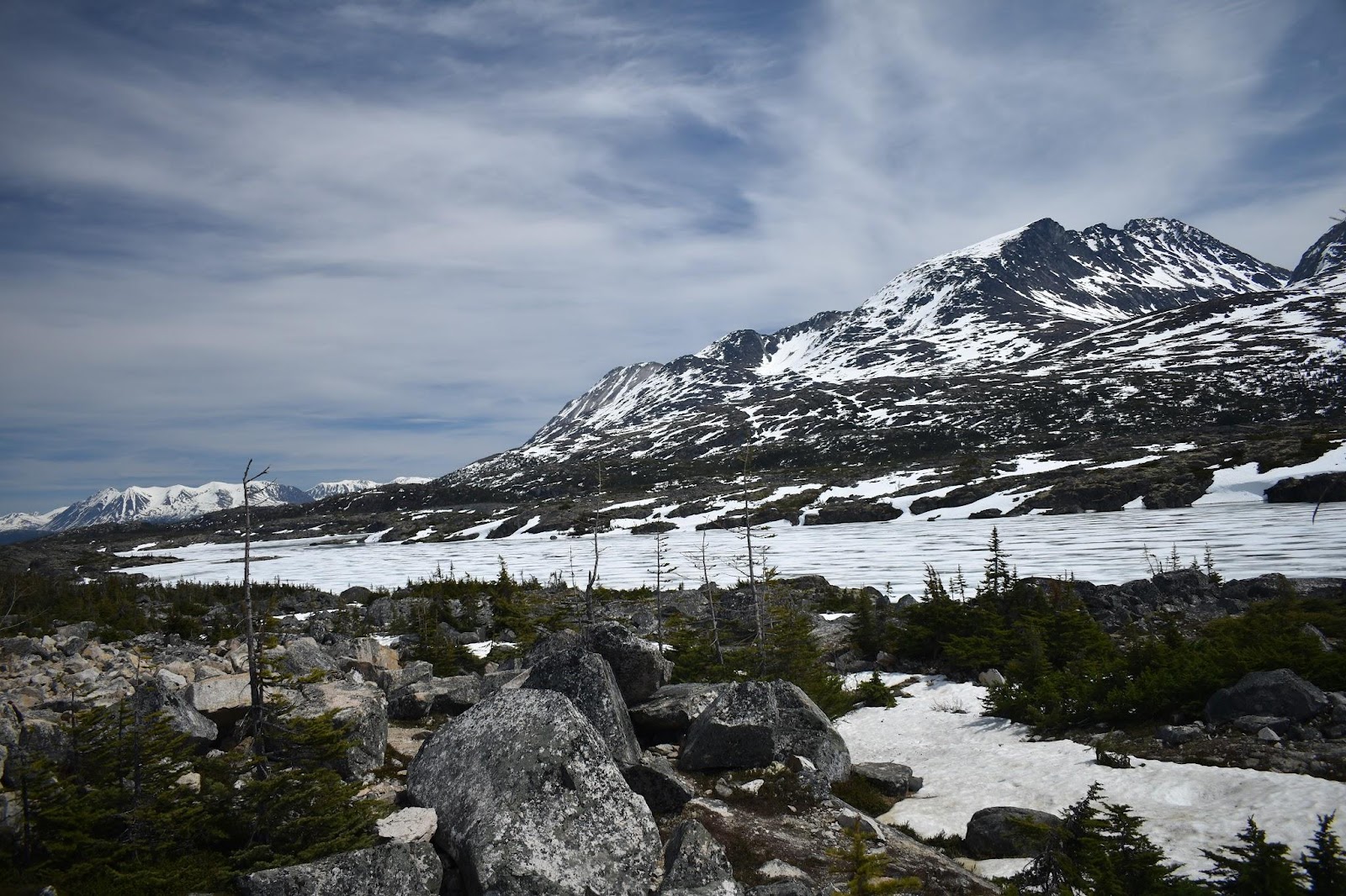
and some of the mountains had just a bit of snow
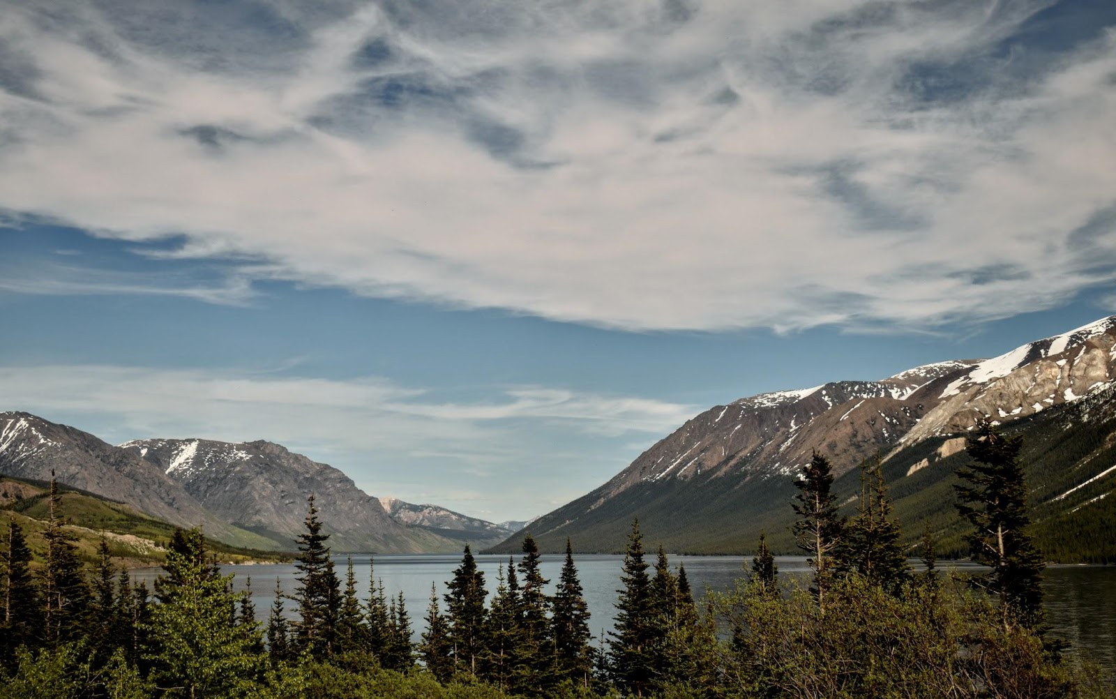
but always there was that combination of water and mountains for miles and miles
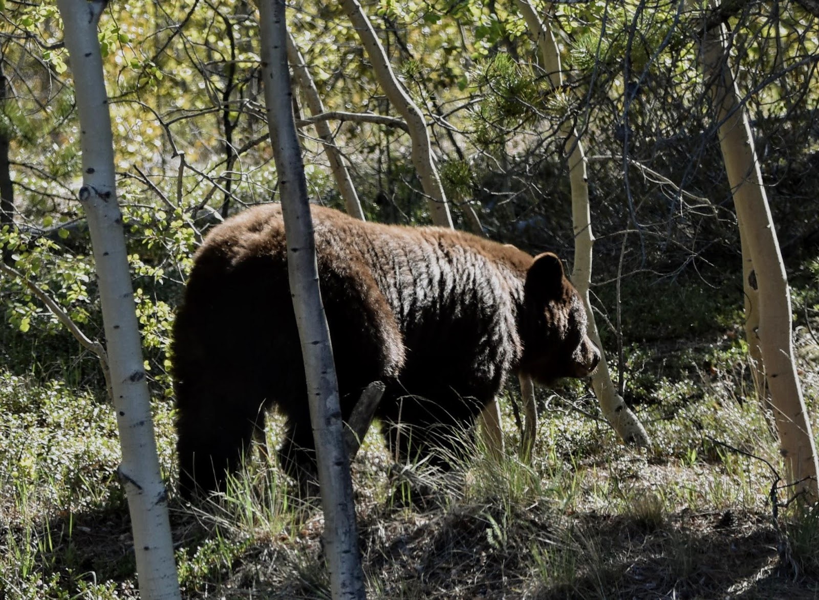
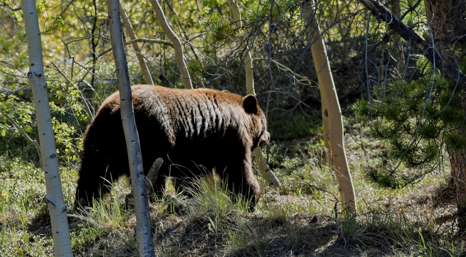
We also happened upon this nice specimen of a brown black bear. By the time I got my camera up he was headed up the side of the bank and all I could get were some more good butt shots 😂
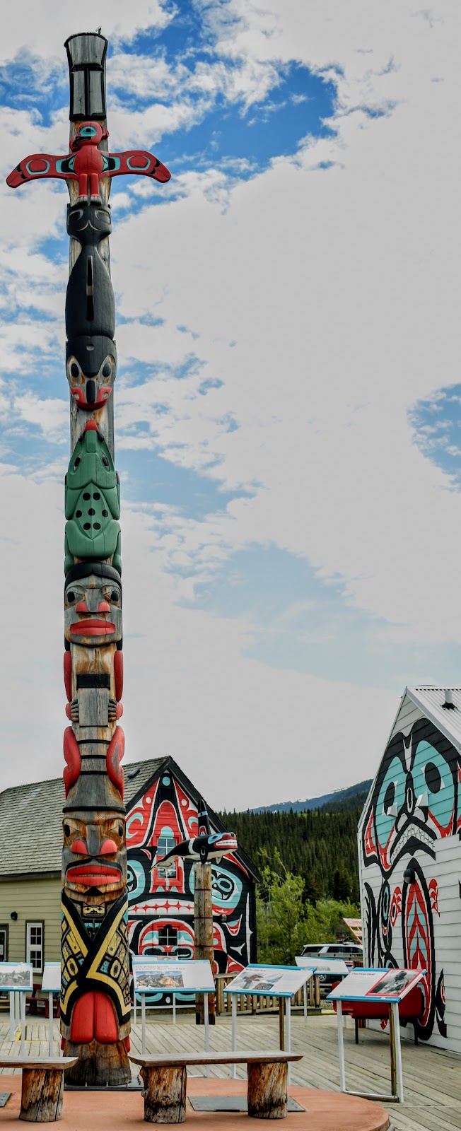
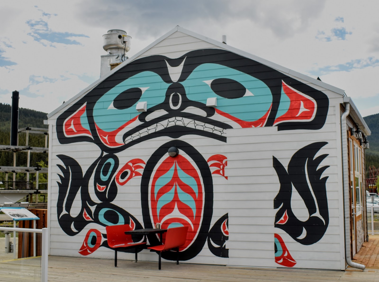
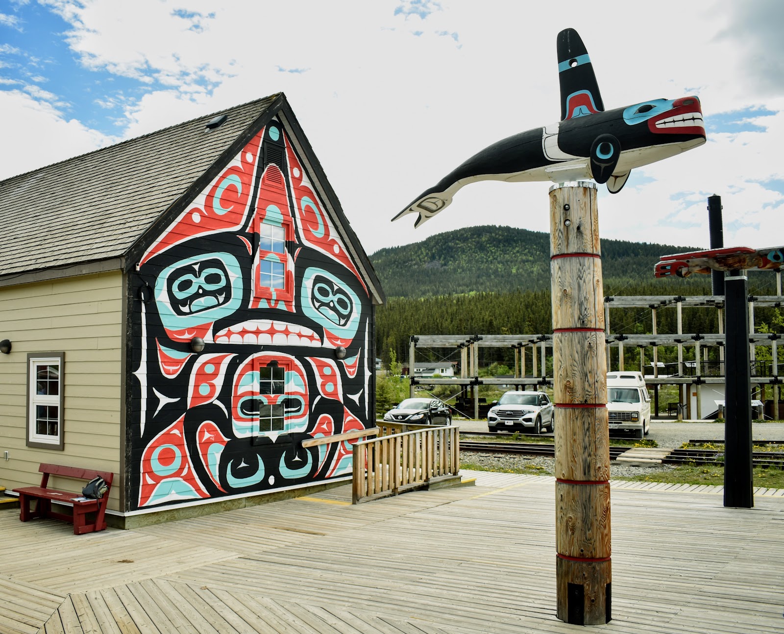
Skagway
Six blocks of the town are restored to represent the town during the Gold Rush and are part of the Klondike Gold Rush National Historic Park


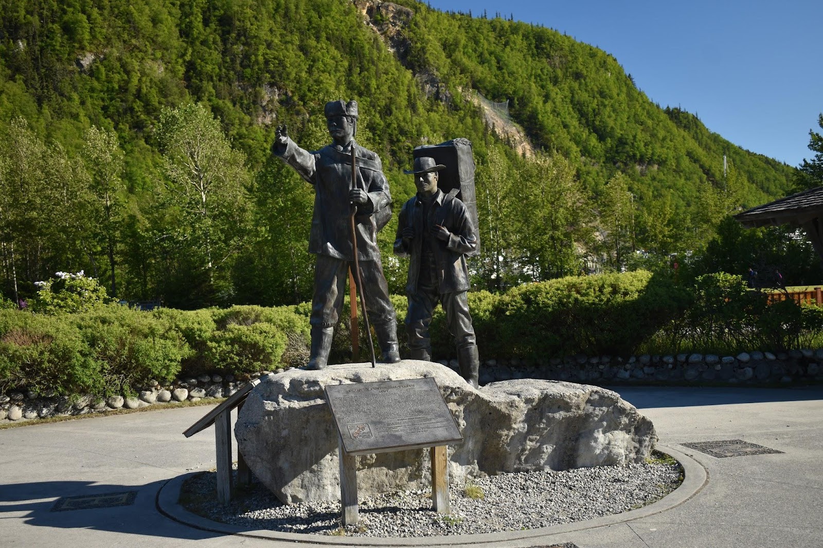
Tribute to the Stampeders heading up over either the White pass, (not quite as steep, can use pack animals, but longer) or the Chilkoot pass (steeper, harder, walking only, can't use pack animals, but shorter) to get over the coastal mountains into the interior and on to the Klondike.
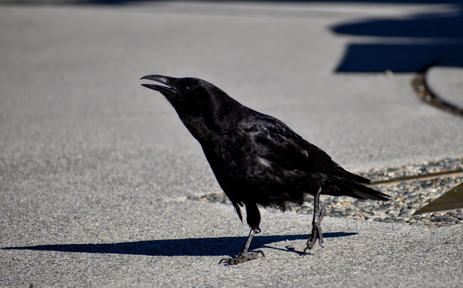
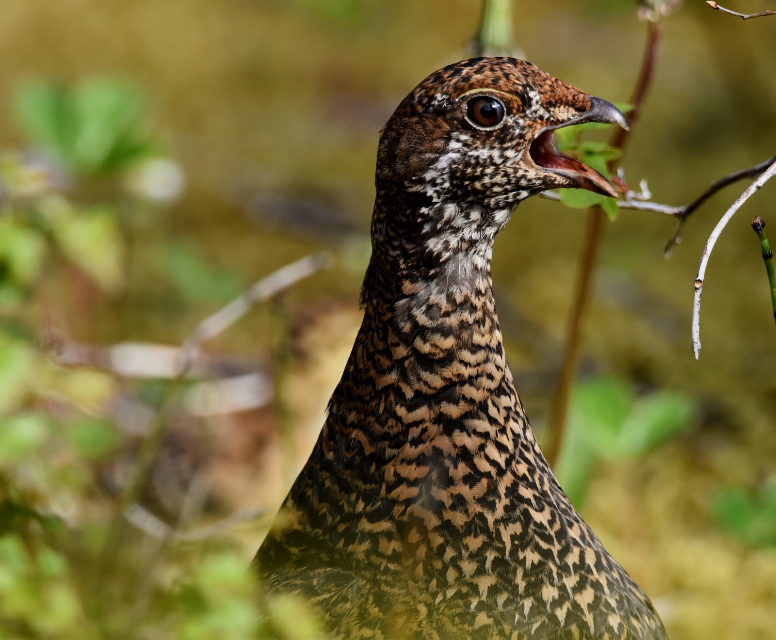
Raven having his say
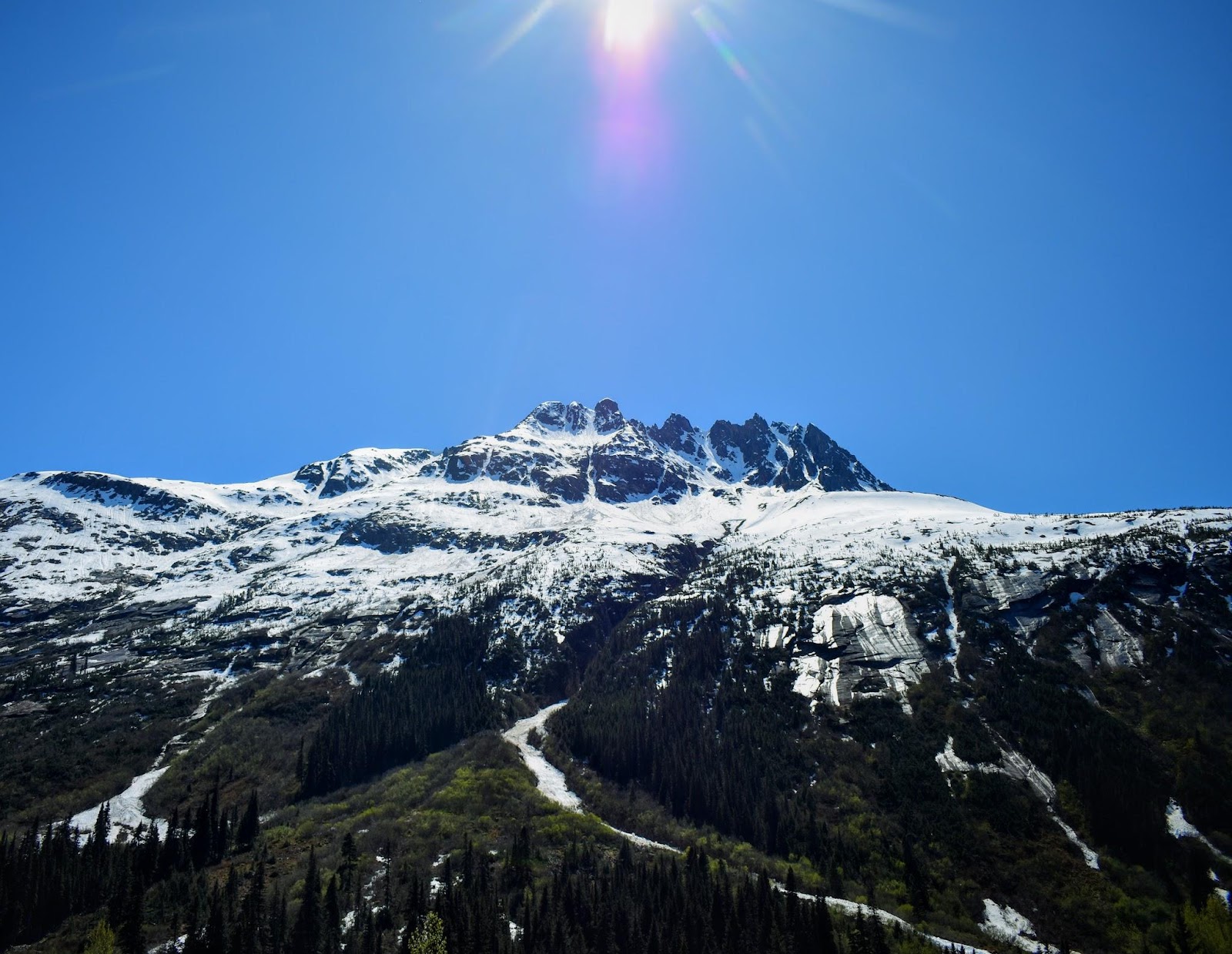
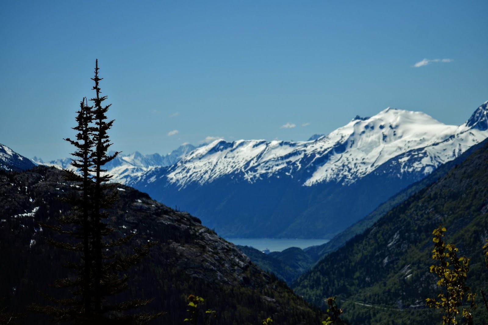
always surrounded by the mountains
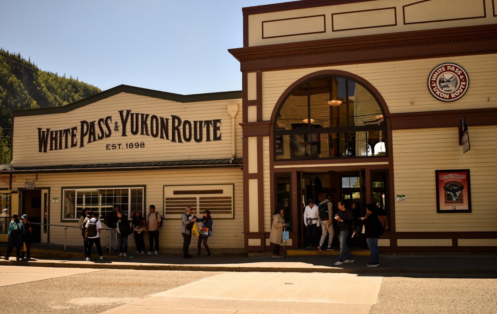
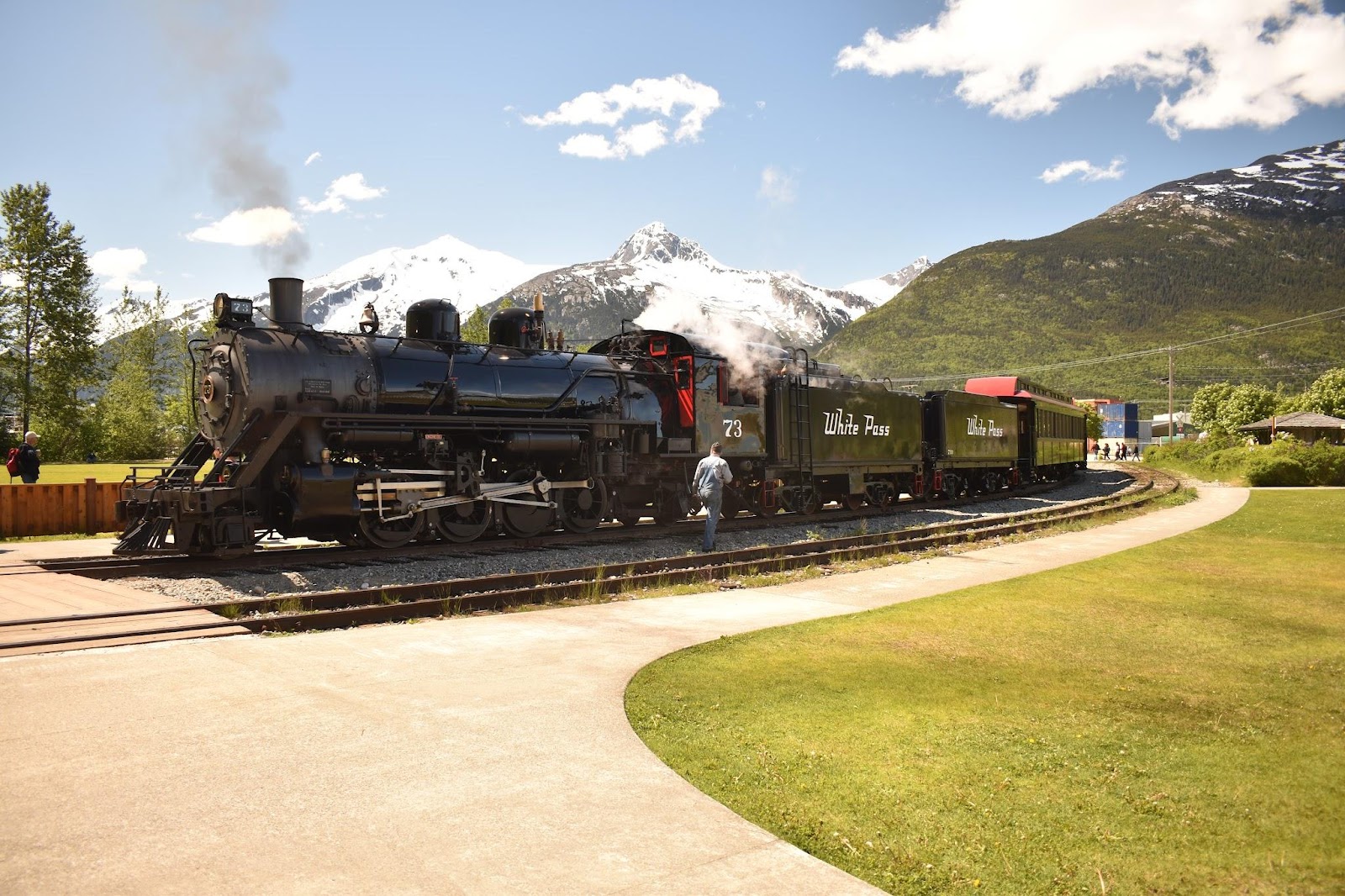
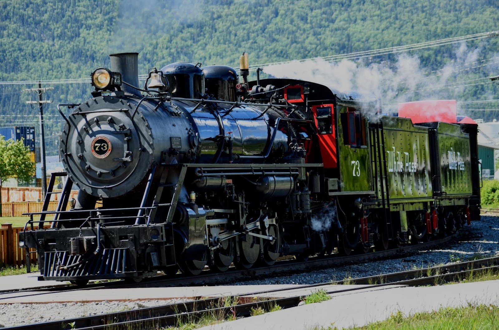
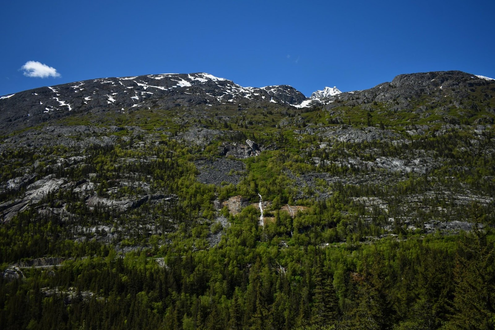
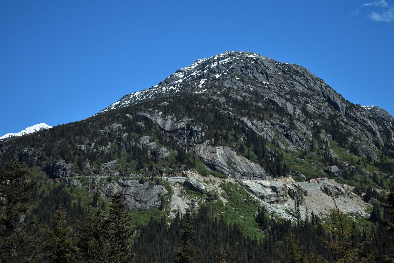
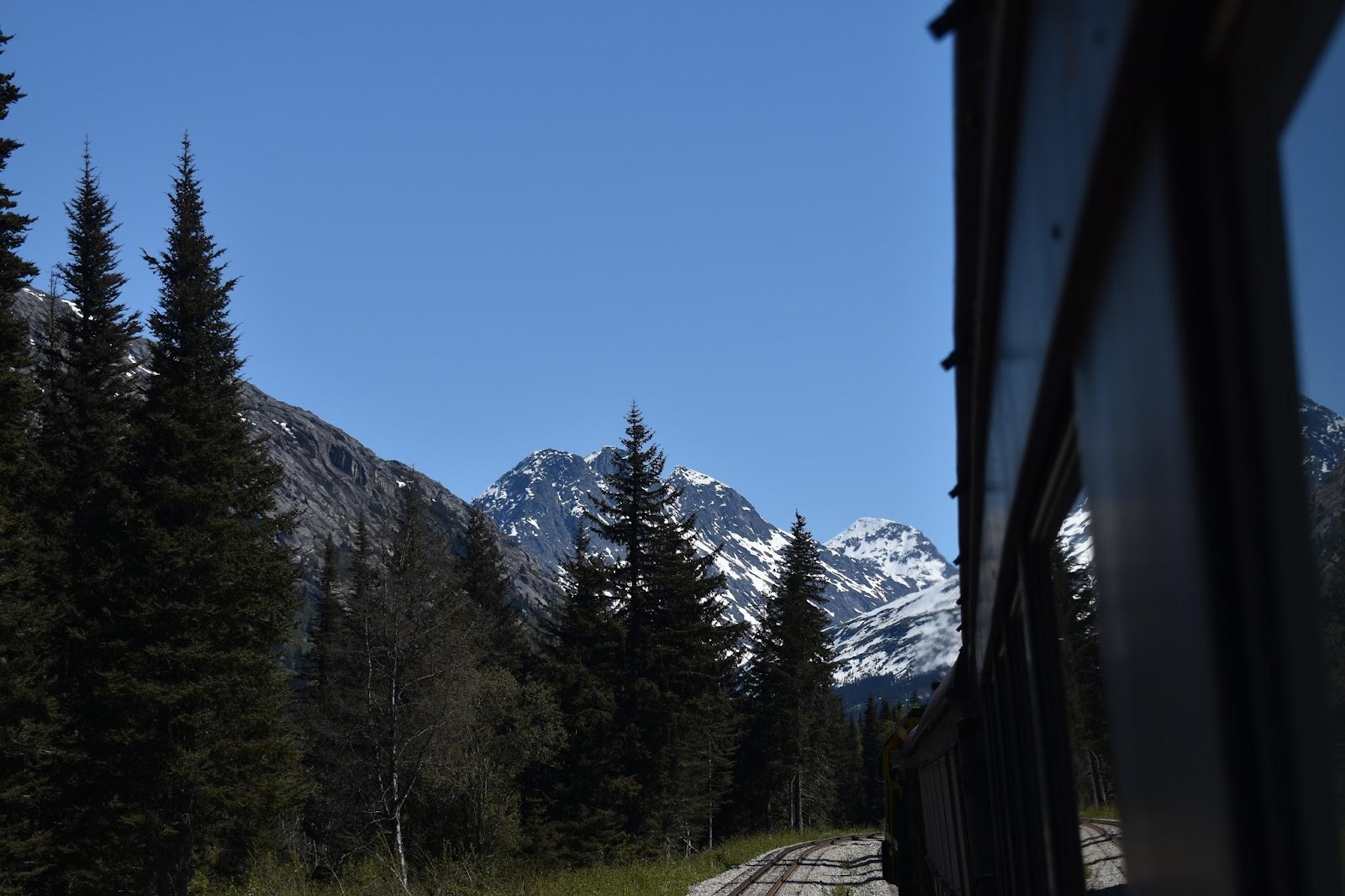
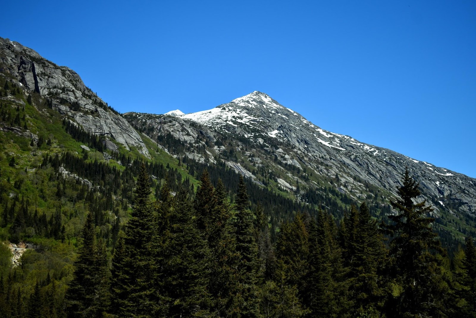
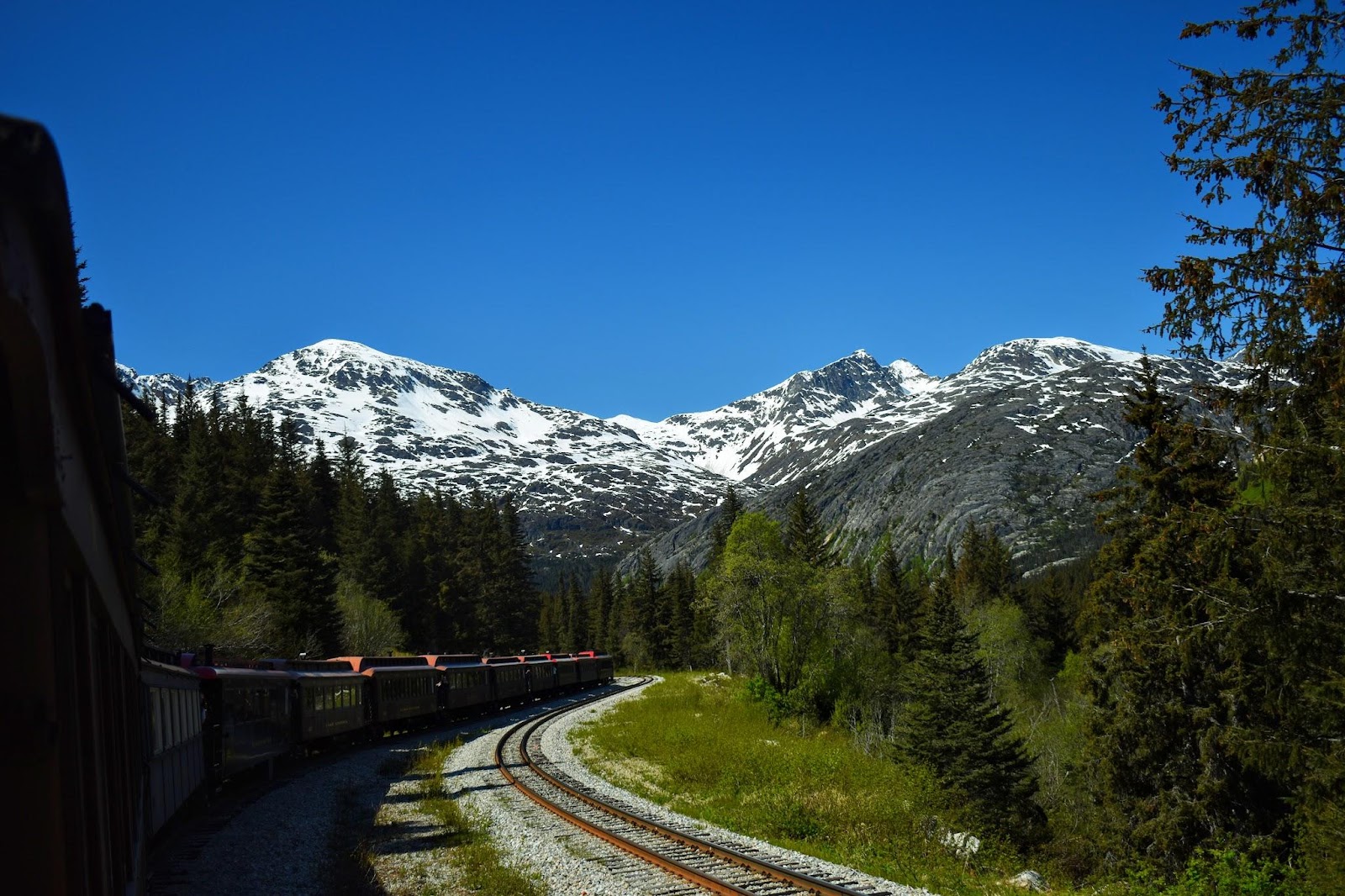
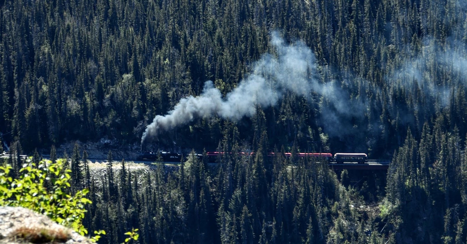
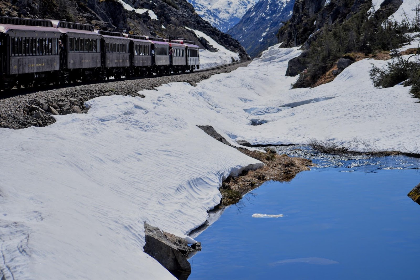
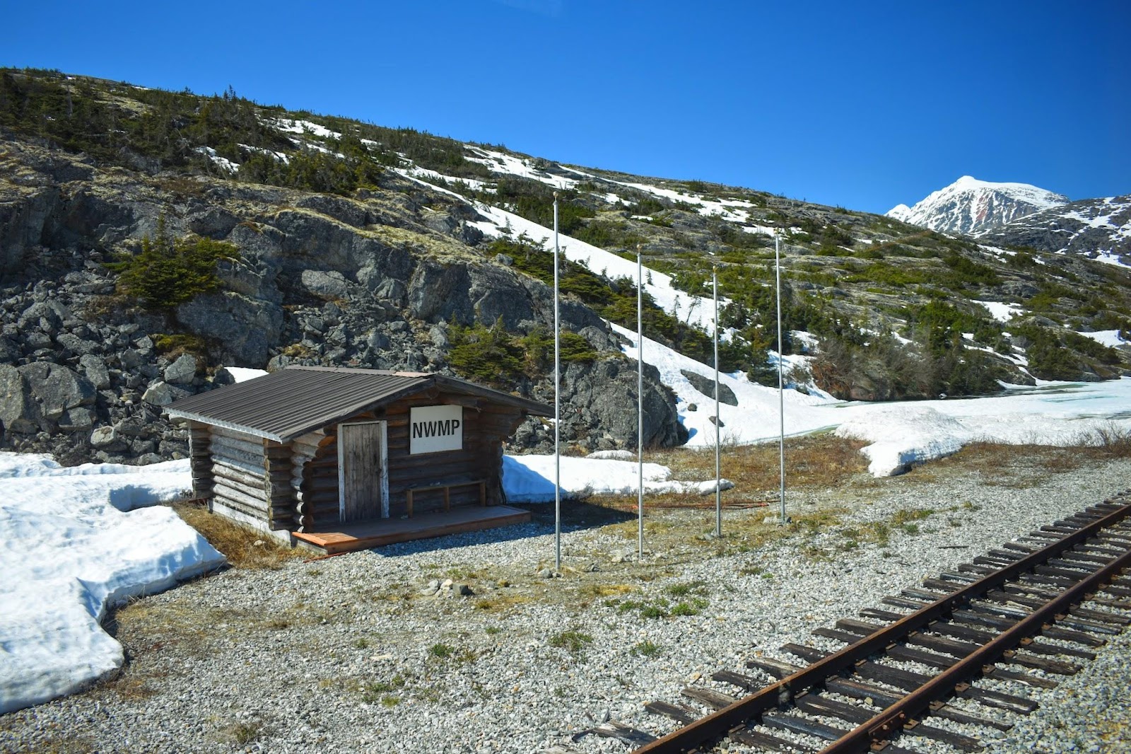
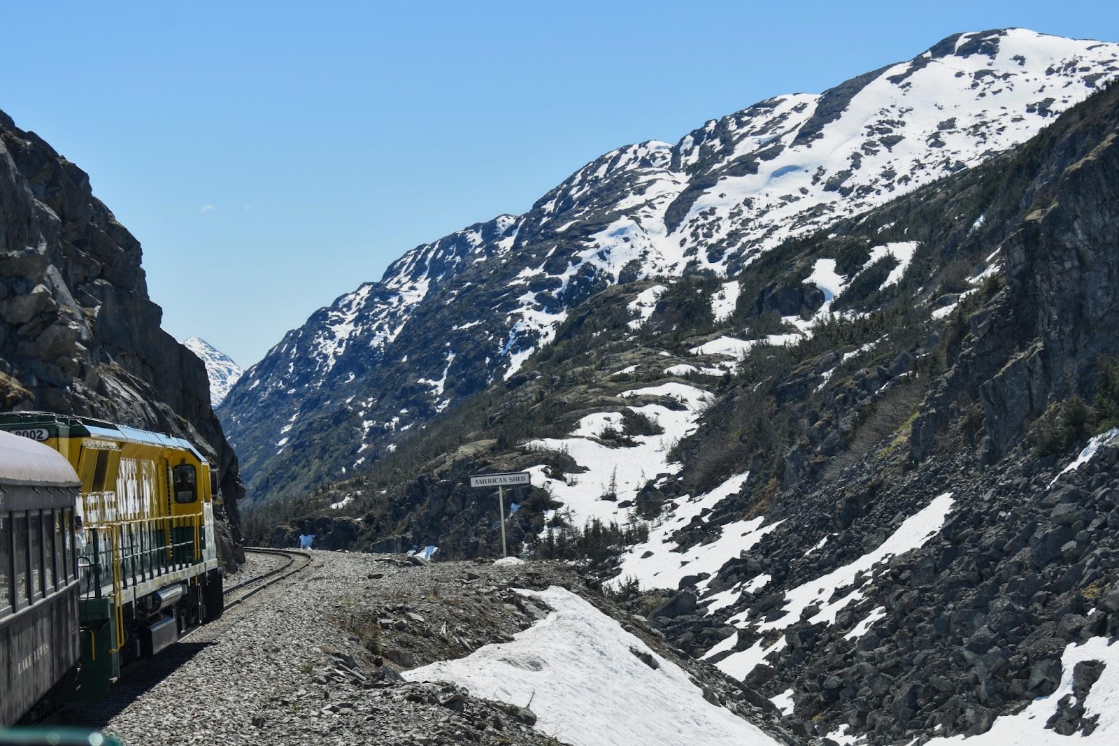
White Pass - Yukon route
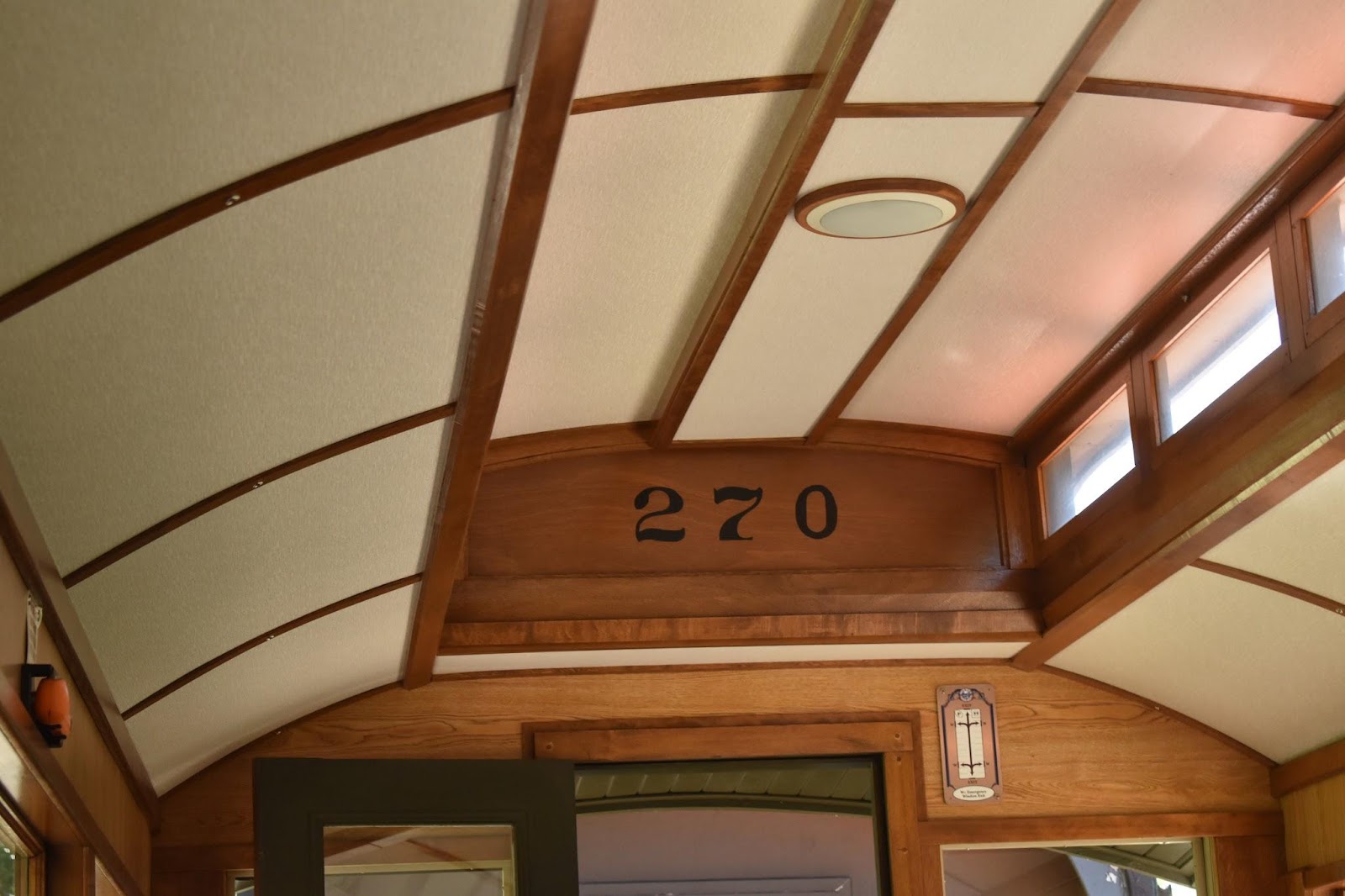
Before long, 1898 to be exact, they started building a railroad along the White pass. Considering gold had been “discovered” just eighteen months prior, it was an extremely fast response. I can't imagine how incredibly challenging it must have been, but fortunately for us, Martin and I were able to take advantage of all that hard work 125 years later and rode the train up through the pass, turned around and then came back down again.
a view of the harbor through the mountains
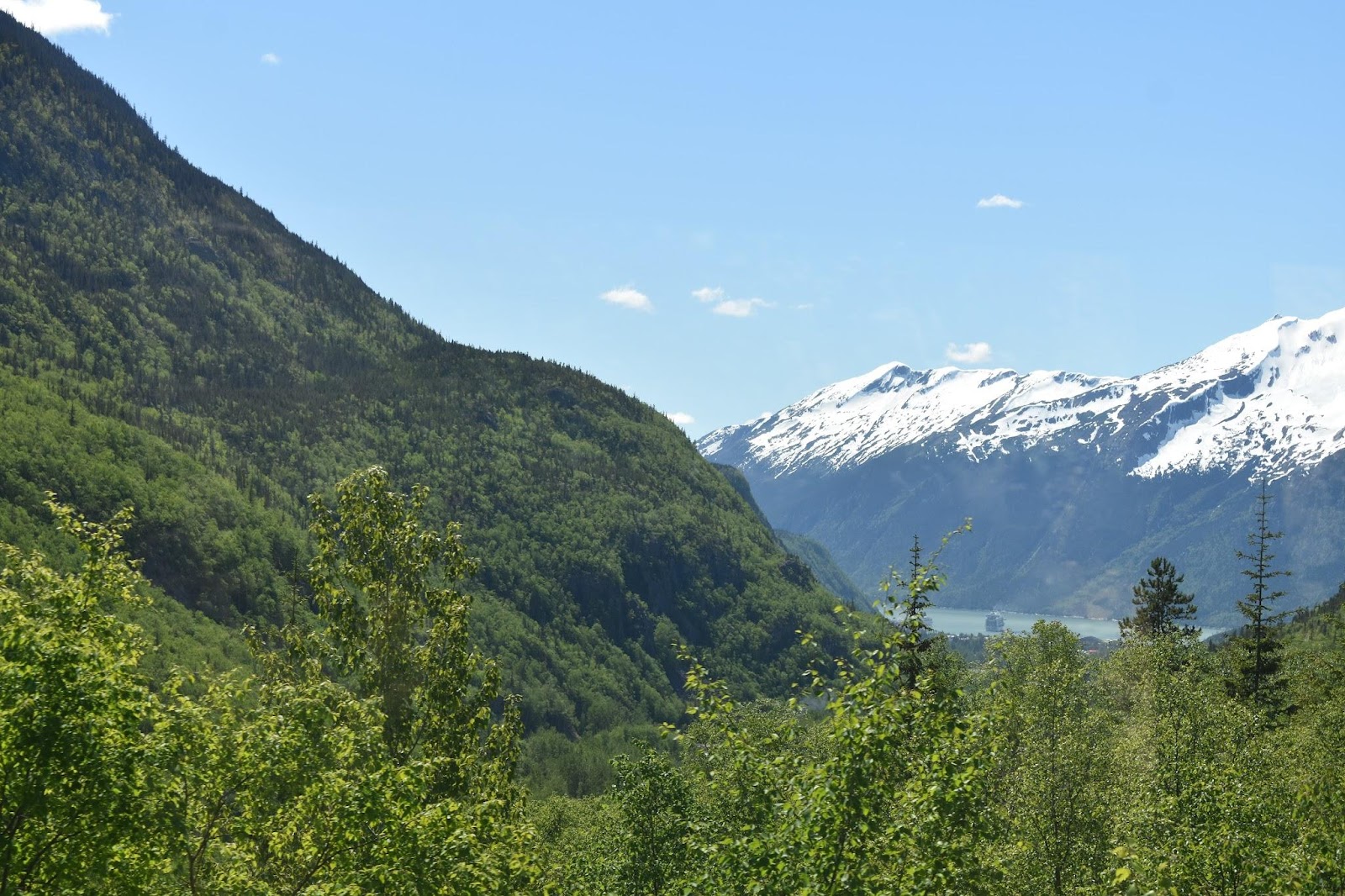
Skagway River
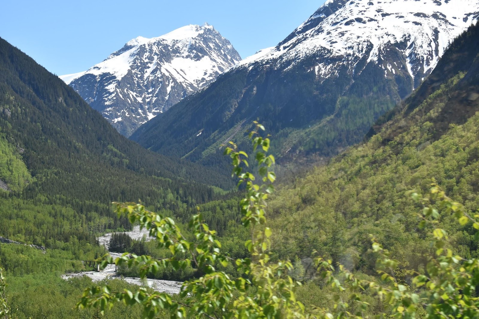
waterfall across the ravine
the Canadian border
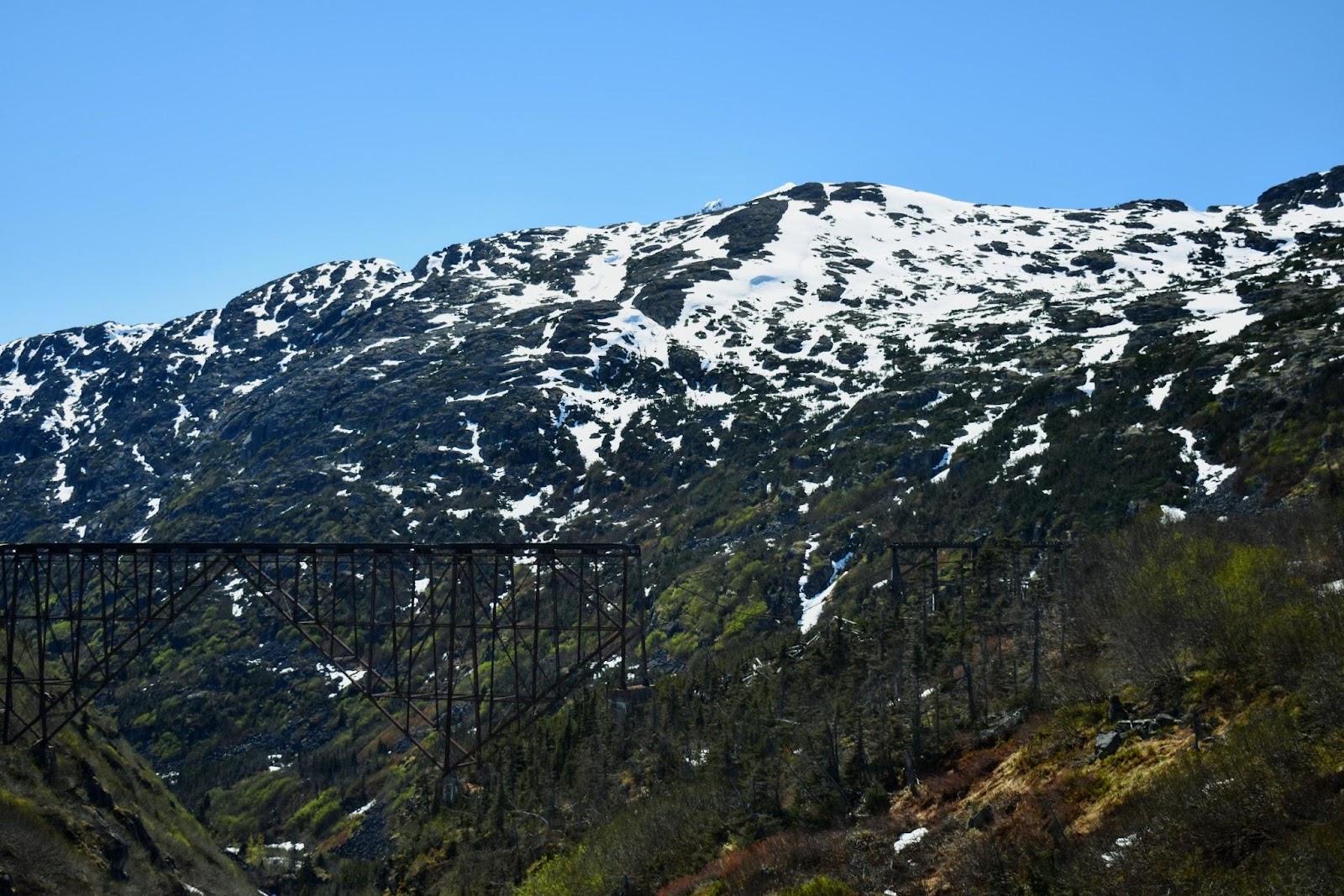
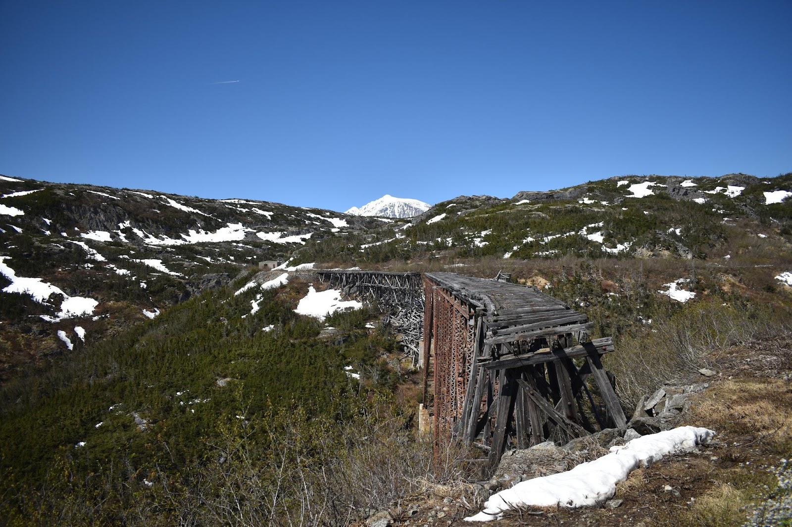
These next two pictures are of the bridge that was built in 1901 and remained in use until 1969. It's hard to see the bridge in the first pic, the bridge is black, but you can see the whole span (if you can pick it out). The span is nearly 1,000’ wide and several hundred feet deep. It spanned Dead Horse Gulch, so named because of how treacherous this section was and how many horses died while trying to navigate it. If a horse died on the trail in this section, it was just pushed over the edge. They have pictures, but I won't share any…they are too disturbing. The bridge is no longer in use because there is a rather significant gap in the middle ... several hundred feet off the ground!
little things …
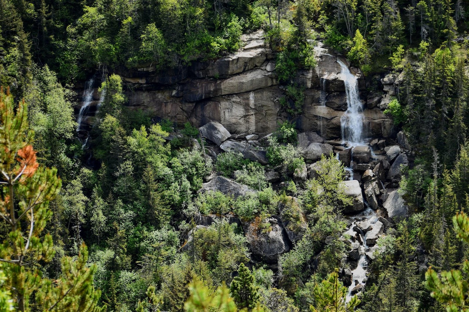
And always there is breathtaking beauty all about
waterfalls
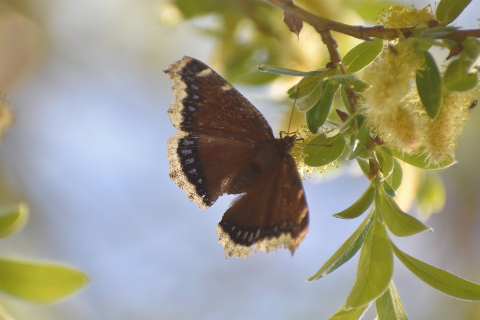
Mourning Cloak butterfly
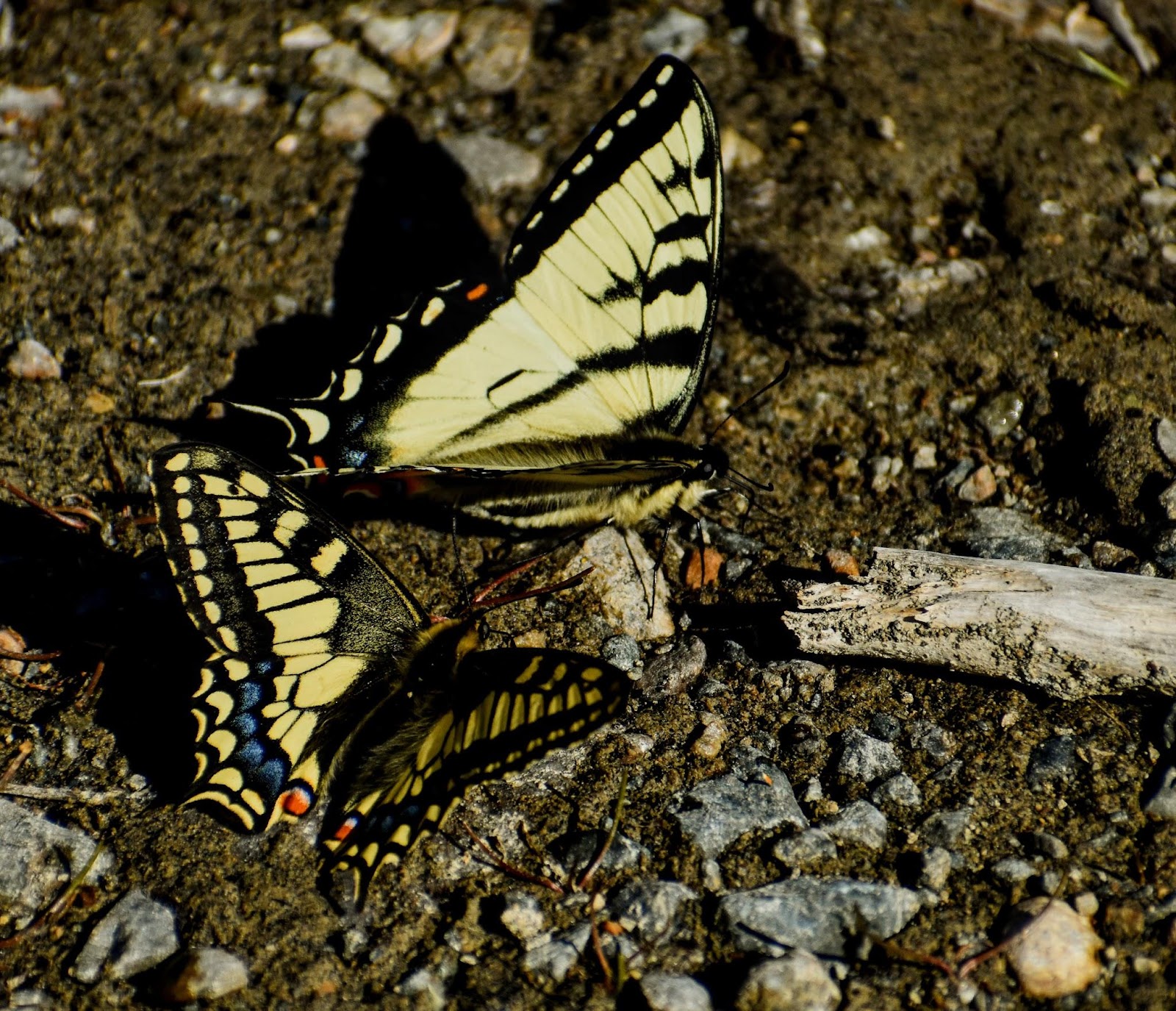
Swallowtail butterflies.
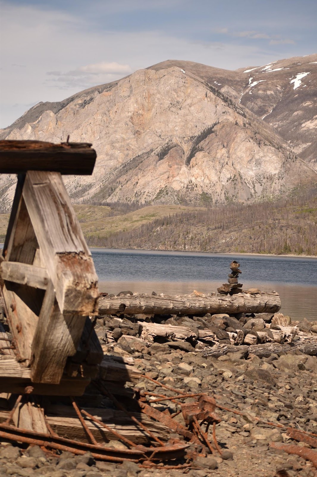
We stopped at a site of an old mine along one of the lakes and hiked down to see what there was to see. The most spectacular thing was all these butterflies “puddling”, hanging about on the damp gravel and sand near the lake. It was amazing. There must have easily been 100 or more. They were swallowtail butterflies and appear, upon closer examination, to be a mixture of two species Alaskan and Canadian Tiger.
Alaskan swallowtail has a more detailed stained glass pattern on the wings
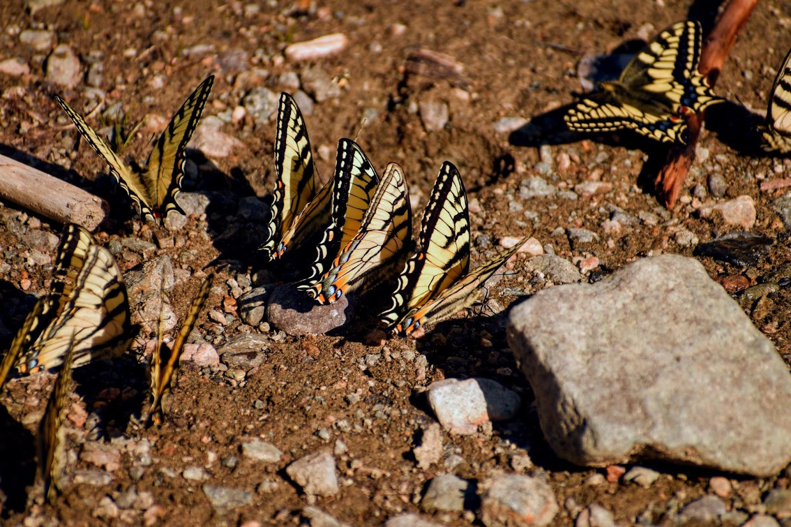
and the Canadian Tiger Swallowtail has shorter bolder lines on the wings.
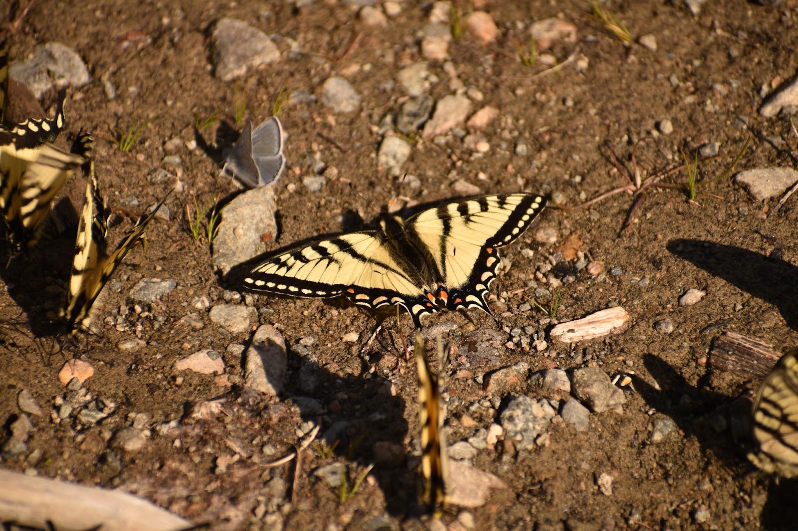
This pic has one of each
remains of the mine, lake and mountain on the other side

Next stop: Glacier Bay National Park.
From Skagway, we loaded into a tiny plane and flew to Gustavus just outside Glacier National Park. More firsts, more incredible scenery and wildlife. Puffins and whales and otters and glaciers and bears, oh my! More cloudy skies and rain, but some sunshine, and a grouse and a moose or two or four, too!


Comments
Post a Comment