What's in a name? Waco or is it Hueco Tanks ...

Hueco Tanks State Park, El Paso, TX was our next stop on our winter and spring of the desert tour. When Martin first started talking about it and really right up until we were practically there he would talk about "Waco" Tanks, which I assumed was in Waco Texas, and he'd sound quite excited. I couldn't really think of any reason to be so excited about going to Waco. My only connotation with Waco was the FBI siege and shootout with the extremist religious group, the Branch Davidians, and I really didn't want to go even if it was a national historic monument or something. As it turns out, it is the 30 year anniversary of that awful event that caused increased tensions in our political landscape, further galvanized and even caused increased domestic terrorism by the extreme right. Timothy McVeigh, for one, lists it as an influence in his decision making re: the Oklahoma City bombing. Now, not to disparage Waco … but that was all that I could think of. Imagine my surprise when I learned that it wasn't Waco Tanks it was Hueco Tanks! Not only that but it was just outside El Paso not Waco! 😂😂🤦
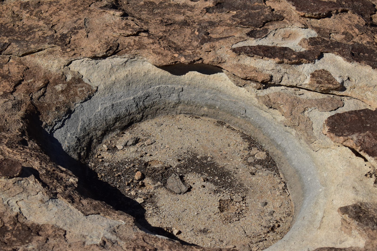
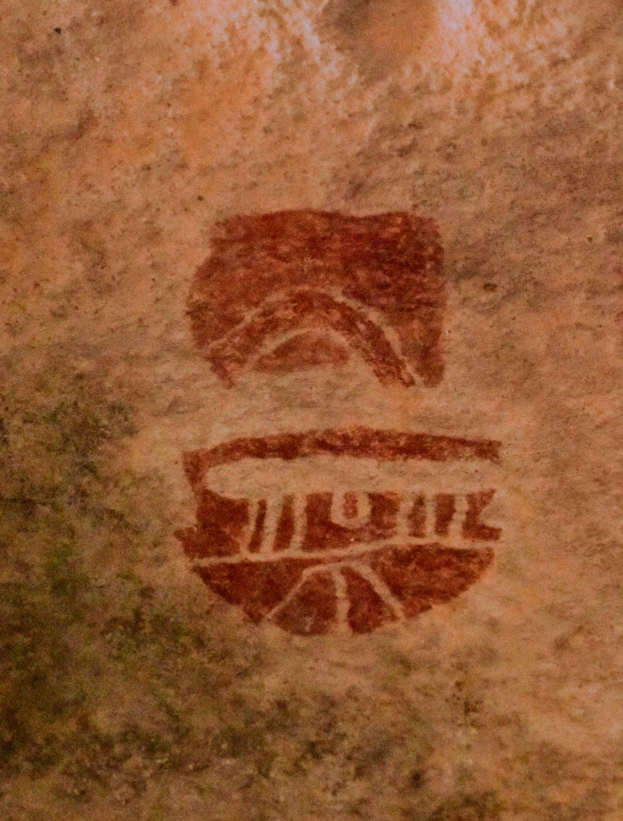
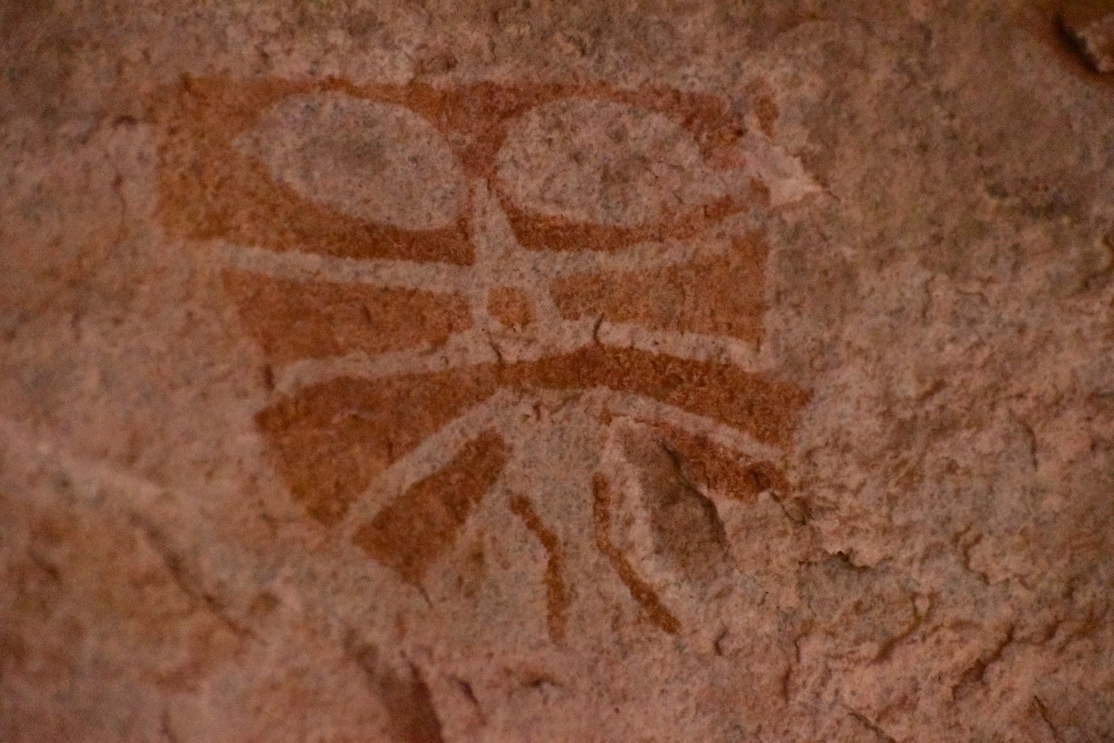
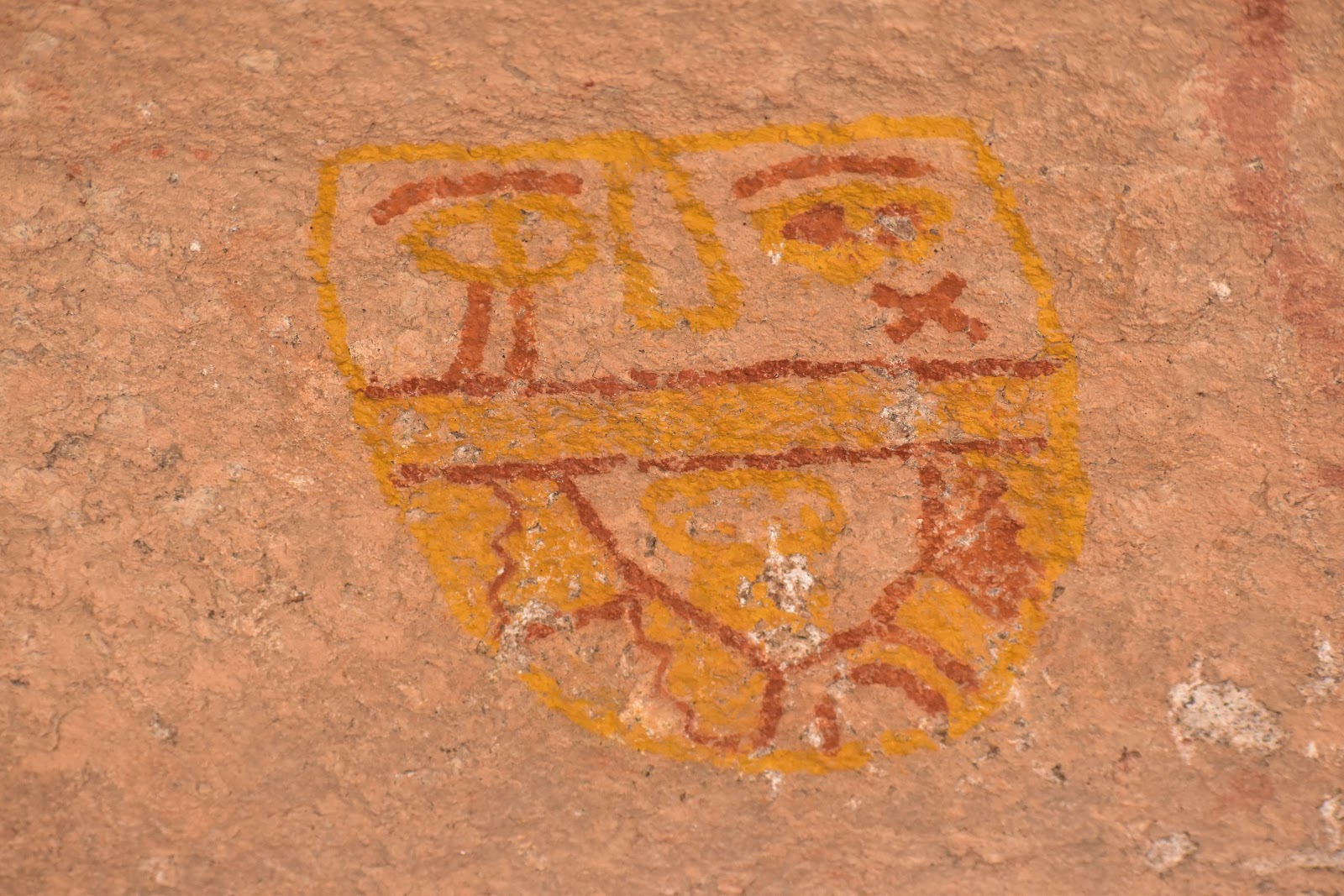
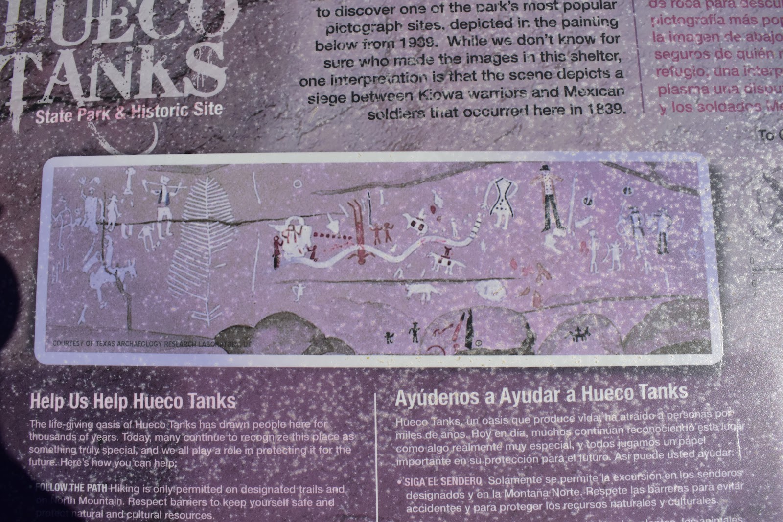
Hueco means holding, so literally this was the "holding water" state park. It is a group of rock hills that has many depressions that would hold water. A jewel in the desert and it had been frequented by the native peoples for thousands of years. It is known for the pictographs, paintings, found in caves and under outcroppings. Many of them were masks which was truly fascinating. While the petroglyphs we've seen before were chipped out of the usually darker coating on some of the stones (desert varnish), pictographs are painted on the walls and can be quite colorful.
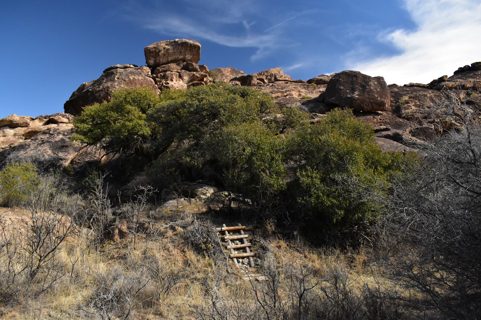
Looking for some of these caves turned out to be a real adventure since there were few marked trails and it was like following a treasure map. "At picnic table 11, go up the rock until you see the rock that looks like a duck. Then look to your right to find the alligator. Make your way across, go under the alligator's mouth and climb straight up the rock the way the alligator is pointing. Look for a bush on your left, the cave entrance will be next to the bush". It literally took us over an hour to find the entrance once we passed under the alligator's mouth! Haha. But it was worth it. See pics.
We spent a day or two exploring El Paso. Now once again I have to make a confession …but first some basics about El Paso. It is right on that part of Texas that is farthest west and scoots in between the Rio Grande to the South and New Mexico to the north. Another little known fact, for me at least, is that there are mountains down there. Ok, now to the 'so obvious I can't believe I hadn't noticed it before' part, El Paso literally means "the pass". El Paso was originally developed and settled as, the pass , between the mountains, from south to north. Again 🤦!
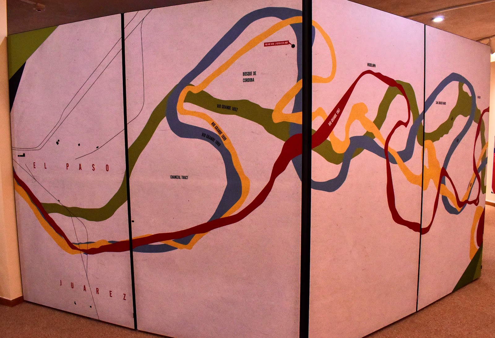
El Paso is right on the Mexican border. In fact, we (the USA) had a long-standing (read that as over one hundred years!) dispute with Mexico over where the actual border was. The problem stemmed from using the Rio Grande as the border. But wait you say, rivers are frequently used as borders. True. But along that particular section of the Rio Grande where it was relatively flat and at the base of these steep mountains the river would flood, create a new channel and the official border would move. (From the beginning, the river generally kept moving south, so the USA kept "gaining" territory and Mexico kept "losing" territory.) That, naturally, led to complications. After negotiations, arbitrations, litigations, near assassinations and ultimately diplomacy it was finally resolved in 1963. They agreed to have a new concrete lined channel dug for the river through this area and sort of split the difference between the original border and the one from the early 1960s. Who knew? 🤷
On to the pics…
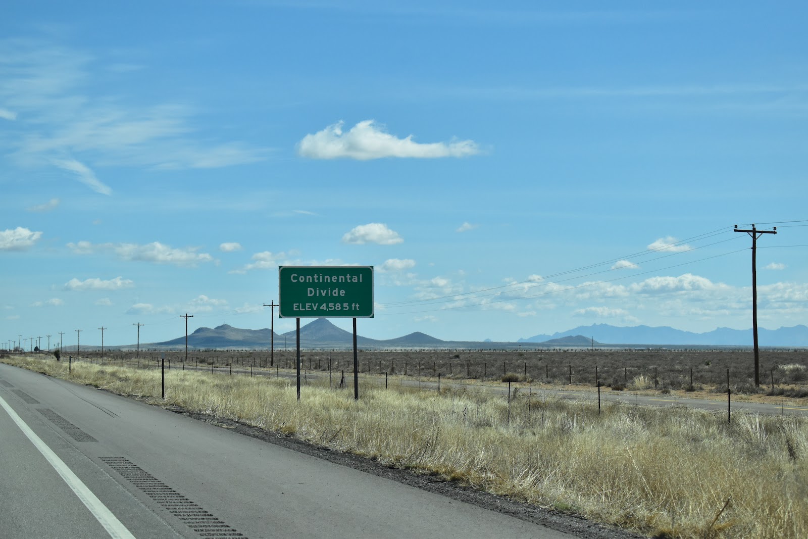
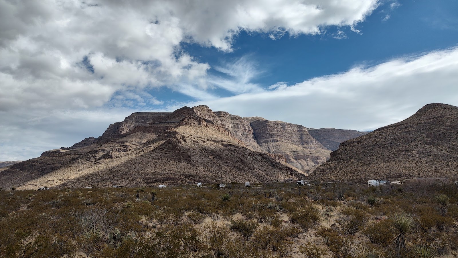
The continental divide, I10 in New Mexico. One of the lowest and flattest continental divides we've gone over.
We arrived at Hueco Tanks in time for another stunning sunset …

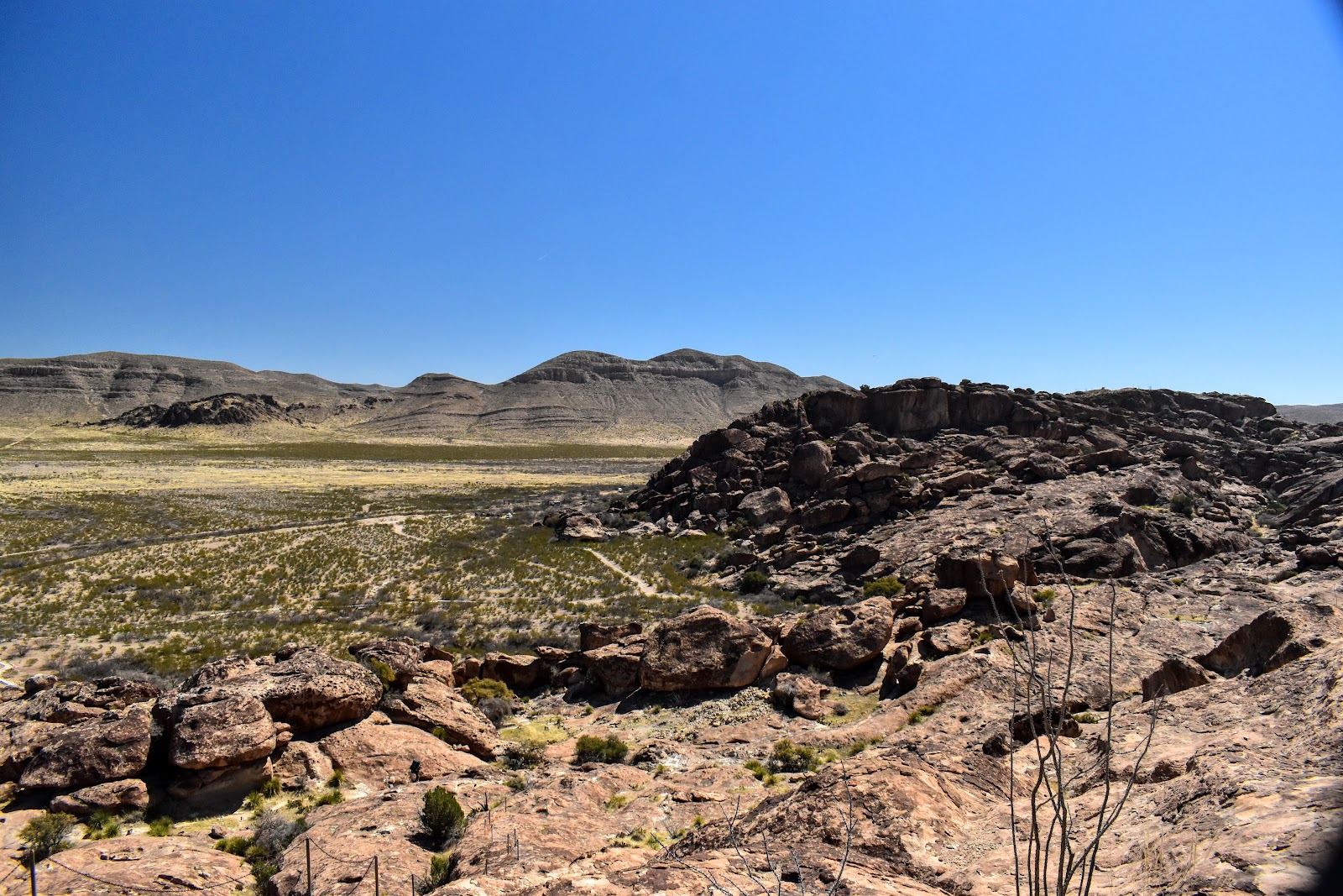
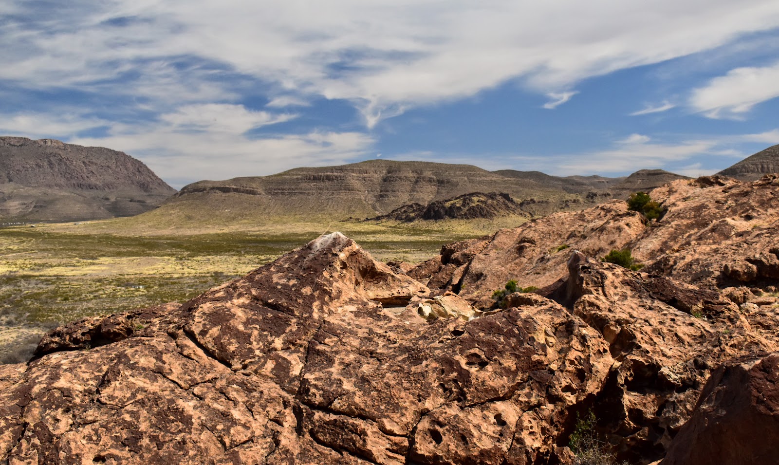
Some pics of Hueco Tanks and area
This is one of the "tanks". When it rains, it fills with water.
In the foreground is a larger "tank" that holds water for several months.


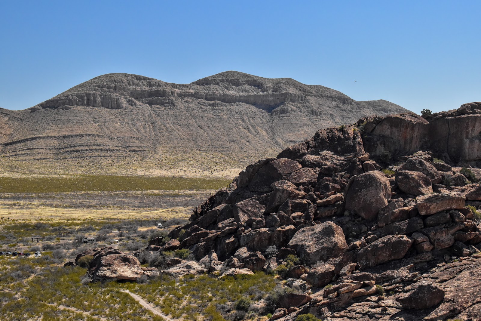
The rocks, crevices and spires are a favorite for climbers.

If I were naming the rocks, this would be tortoise rock.

The view from our campsite

Slithering in and out of caves. I'm not a very good slitherer. Haha!

Here's Martin making his way out

Trying to make my way out, sort of like a crab on its back, waving about, but going nowhere fast. 🦀🤣

This was the cave entrance that we spent over an hour searching for!
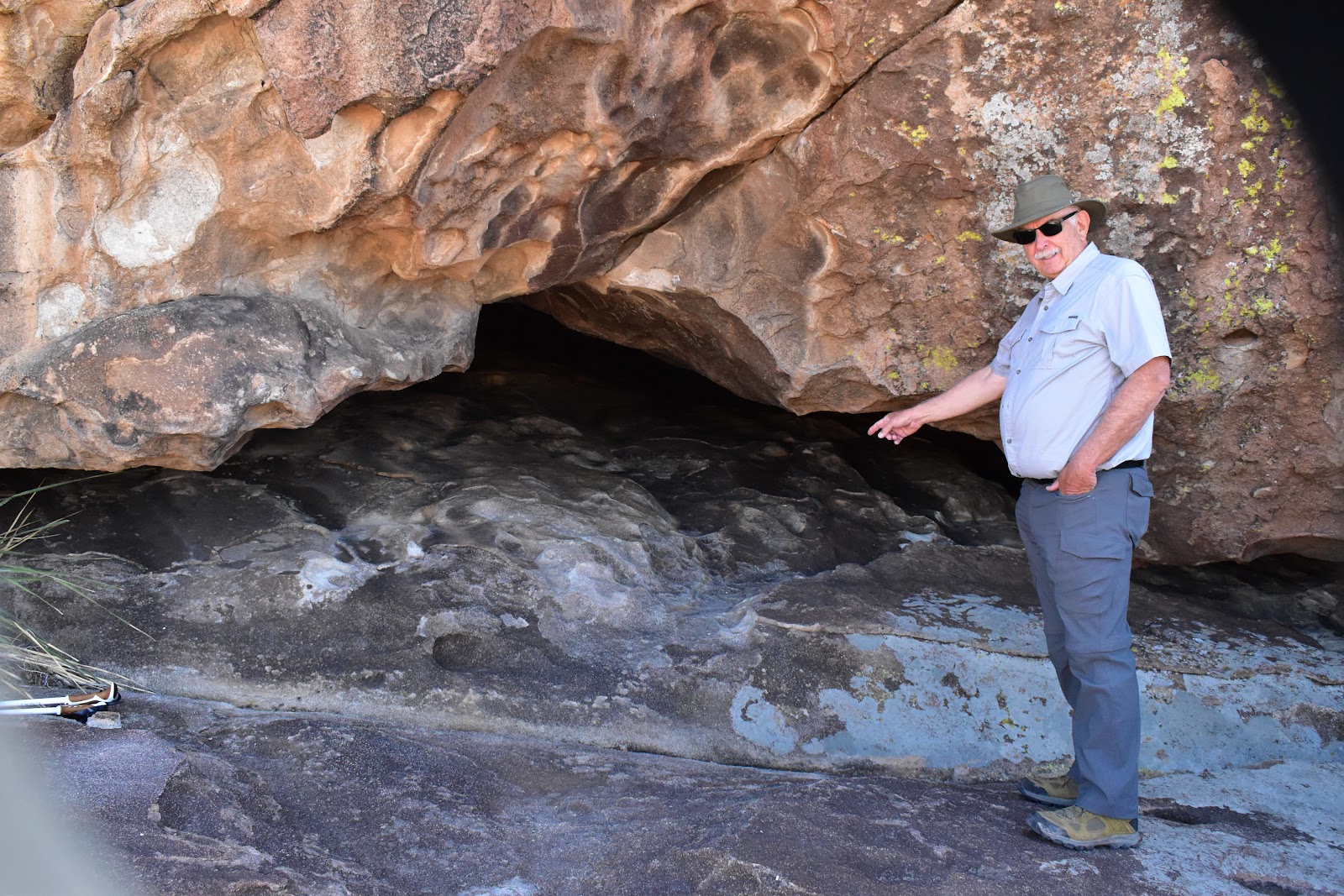
But the searching and slithering were worth it.
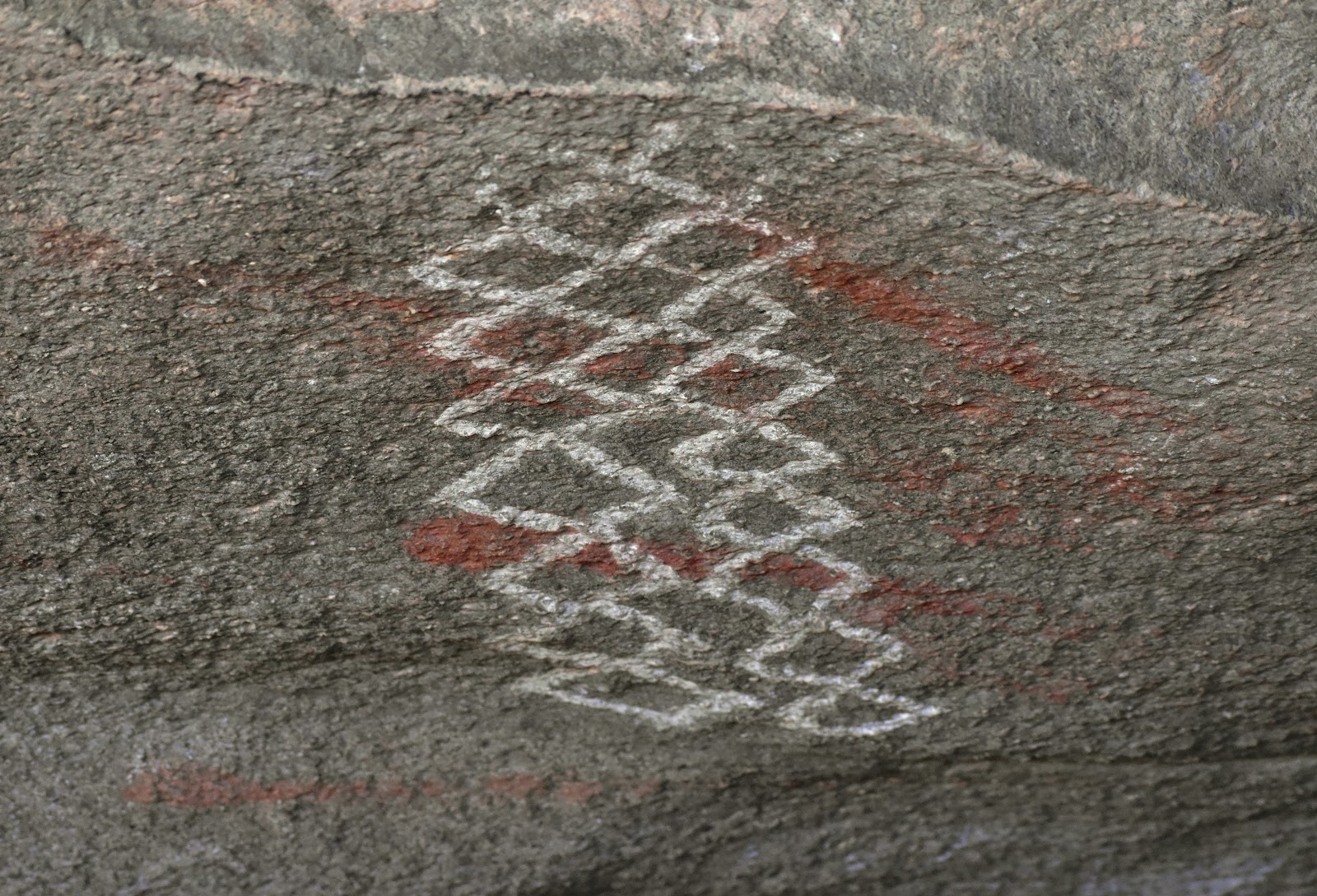
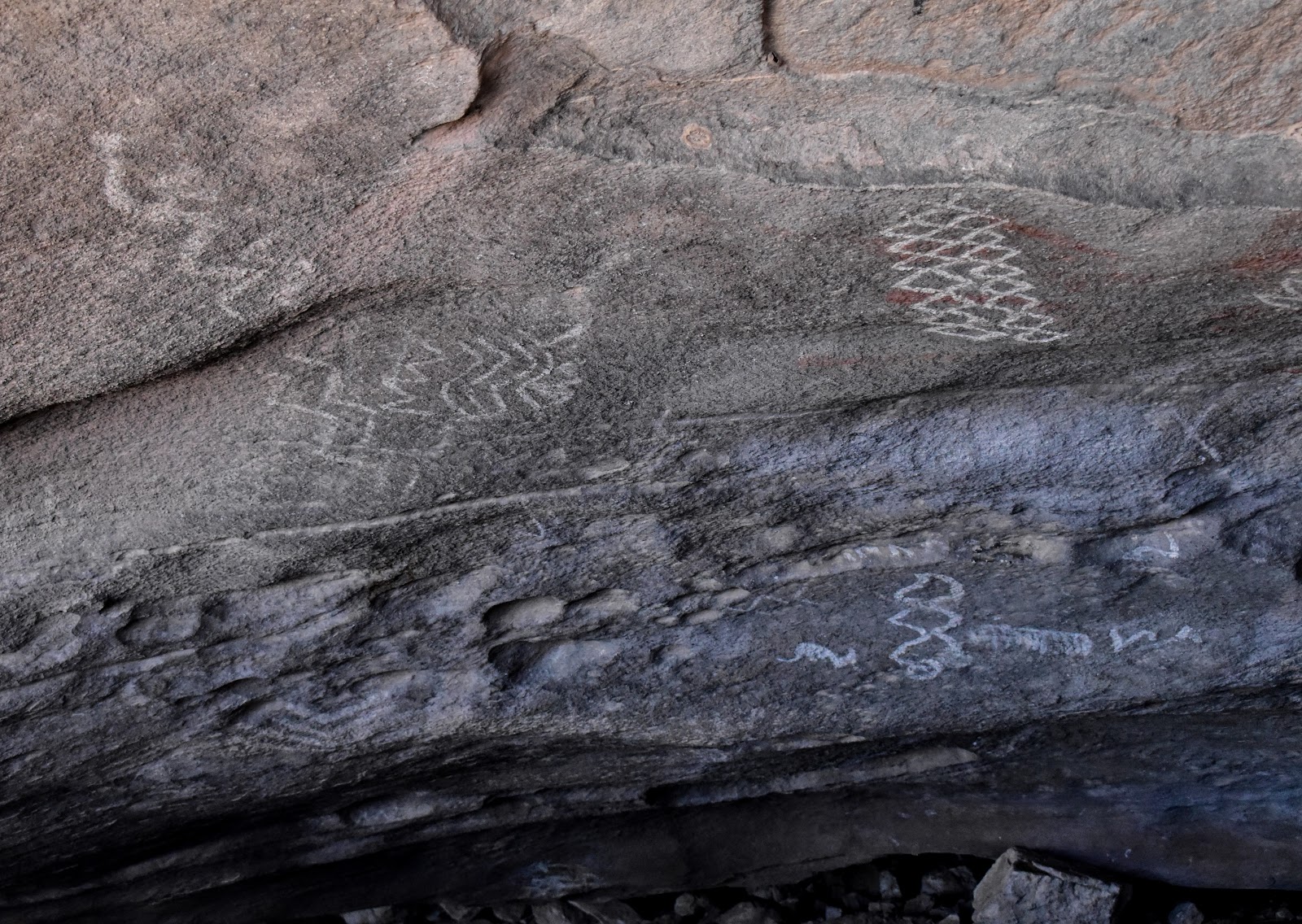
There were three basic types of cave art. The pictographs in the first few pics below are from the mongollon (mon-gee-own) people, 1100 AD. Following that, the Apache added more pictograms of geometric and story telling designs and finally the euro-American folks left there mark as well. There is one wall that has so many marks, it is commonly referred to as "newspaper wall".
Mongollon paintings from the cave we spent so long searching for!

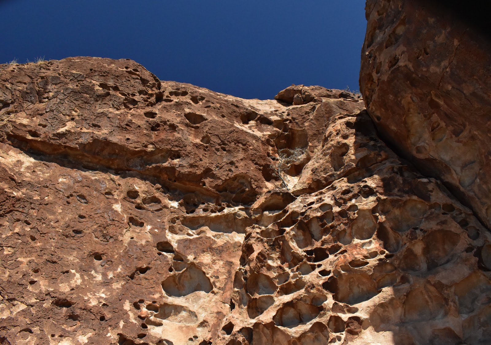
light and shadows in the some of the caves
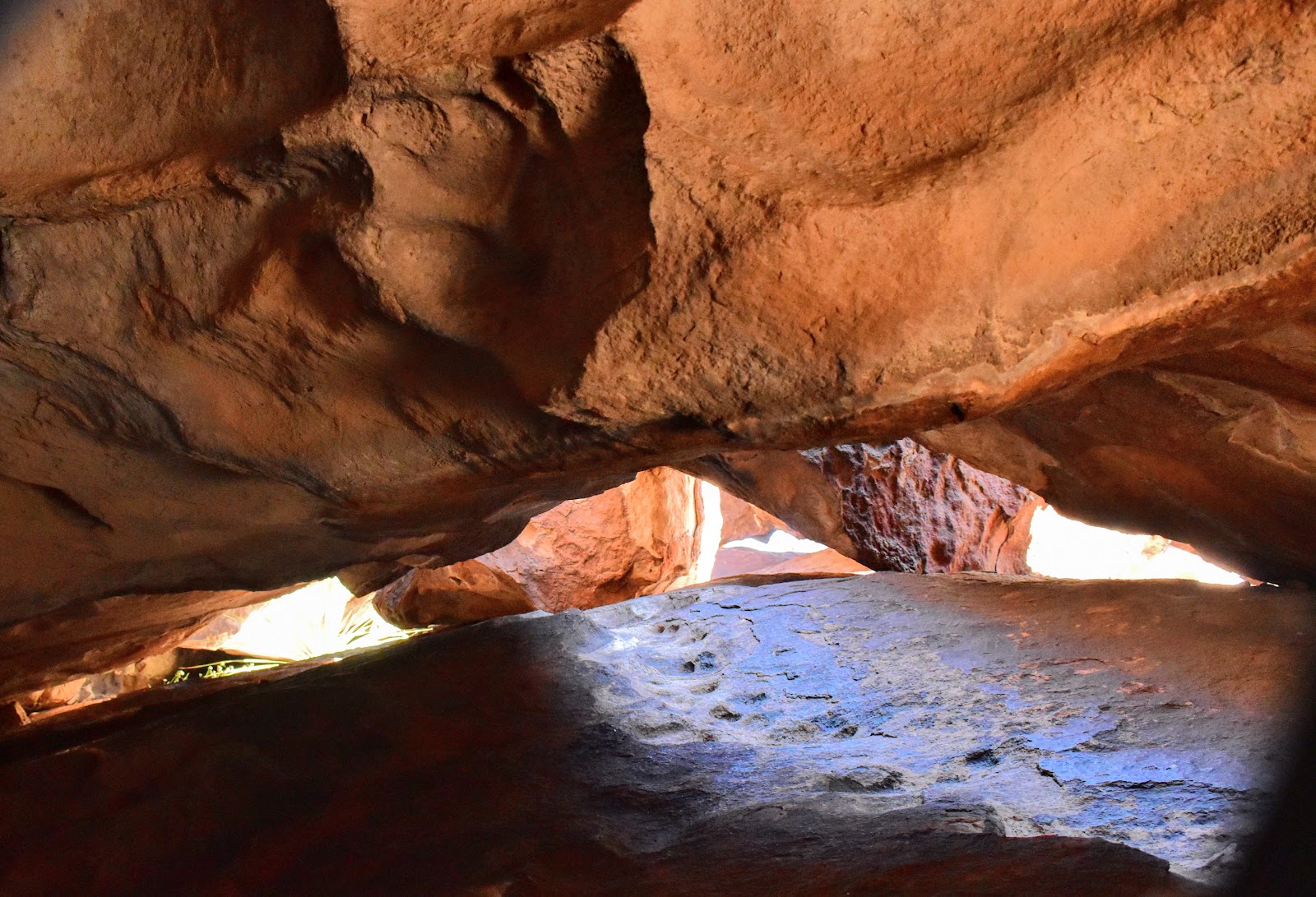

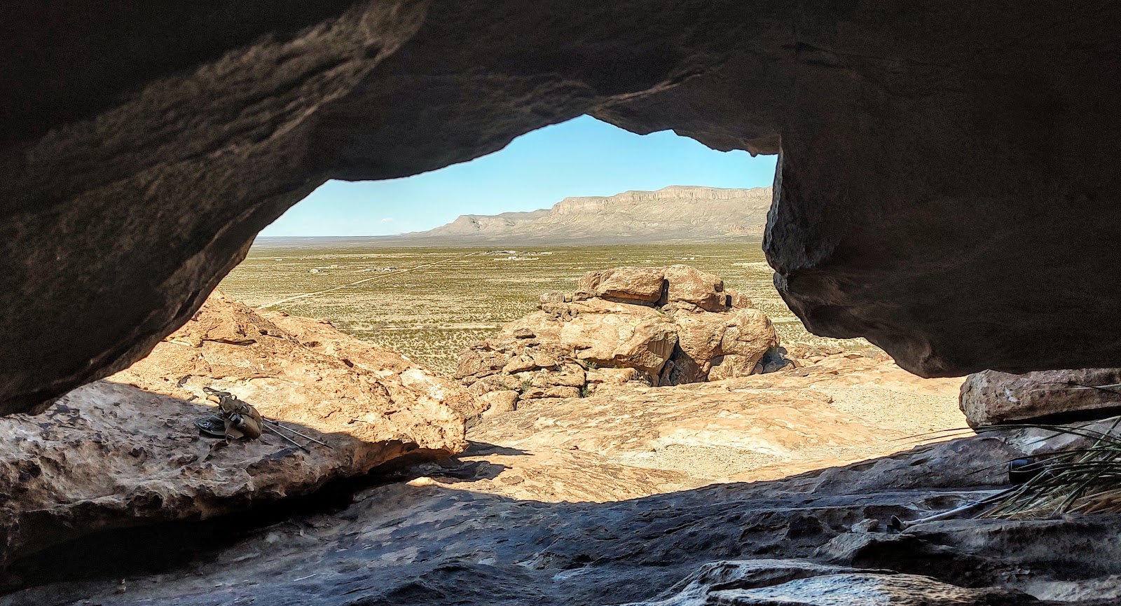
looking from inside out
Hueco Tanks has so many drawings/glyphs that it is not unusual to have some of them placed over previous ones.
Apache style paintings tend to be more geometric or abstract shapes. Though they also can represent history and be storytelling in nature.

Sadly, the rock face below, which had a very elaborate story painted on it, was defaced by vandalism.
The original painting,
and what's left.

The euro-Americans leave their own marks


Our campsite in the morning mist. Most of the campsites in the southwest have some sort of covering/windbreak for protection from the sun and wind.

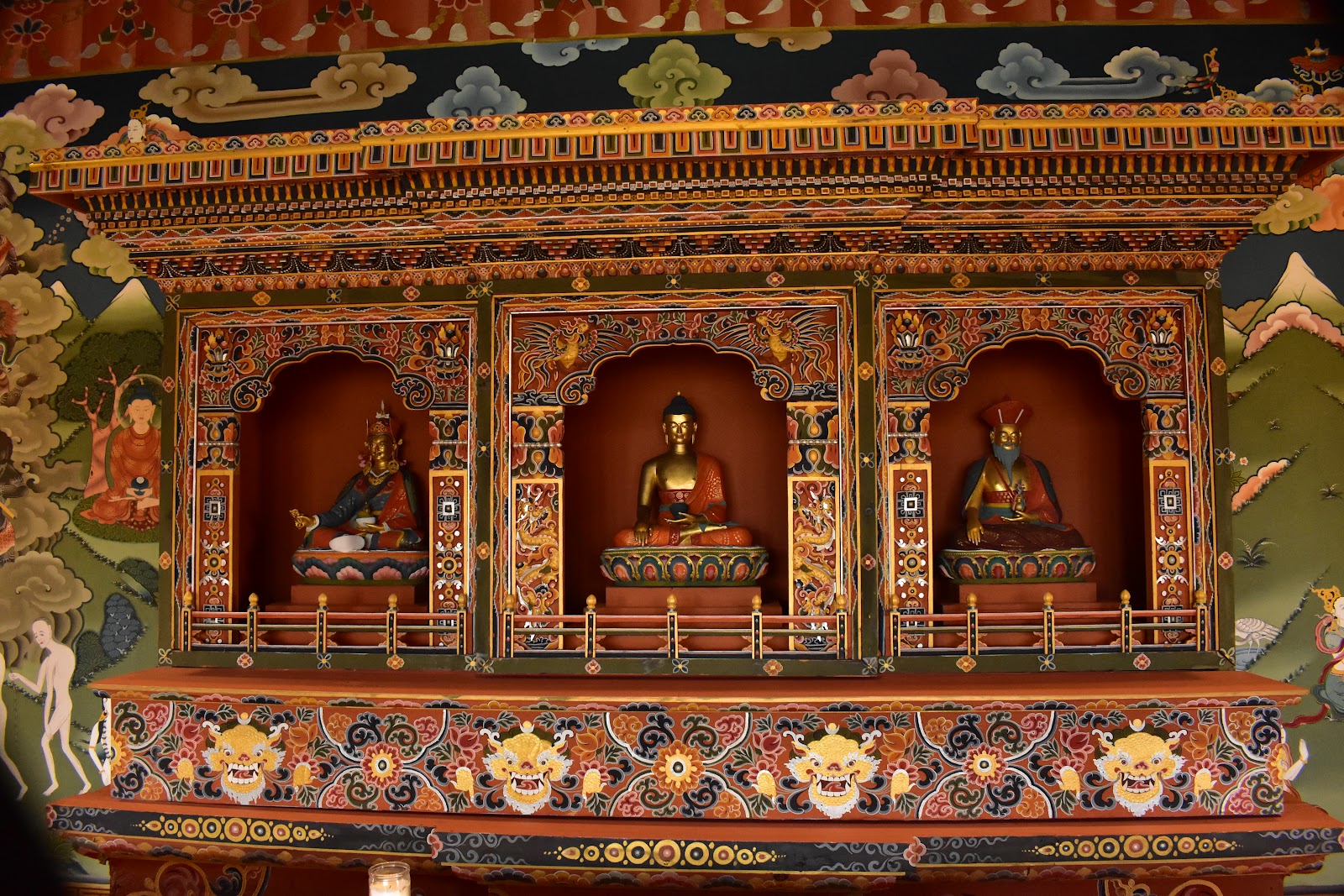
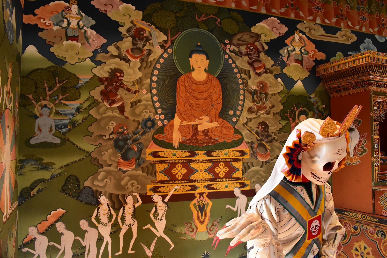
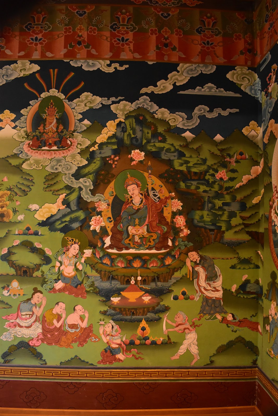
We went to the University of Texas, El Paso (UTEP) to see the Centennial Museum and Chihuahuan Desert Gardens. UTEP has a strong connection with Bhutan. Most of their buildings are designed in the dzong style of architecture and they were gifted Lhakhang, a Bhutanese Temple that was on display at the mall in Washington DC. It is exquisitely painted with scenes of the story of Buddha and Buddha comes to Bhutan.


Texas Mountain Laurel (I had to keep checking the name since there was so little resemblance to the mountain laurel I'm familiar with.)

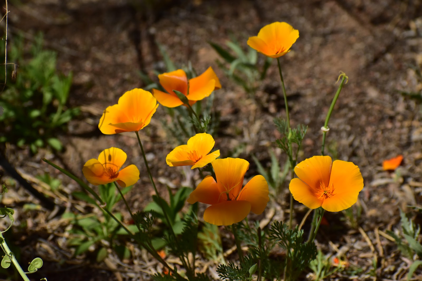
Mexican poppies
Banana yucca bud

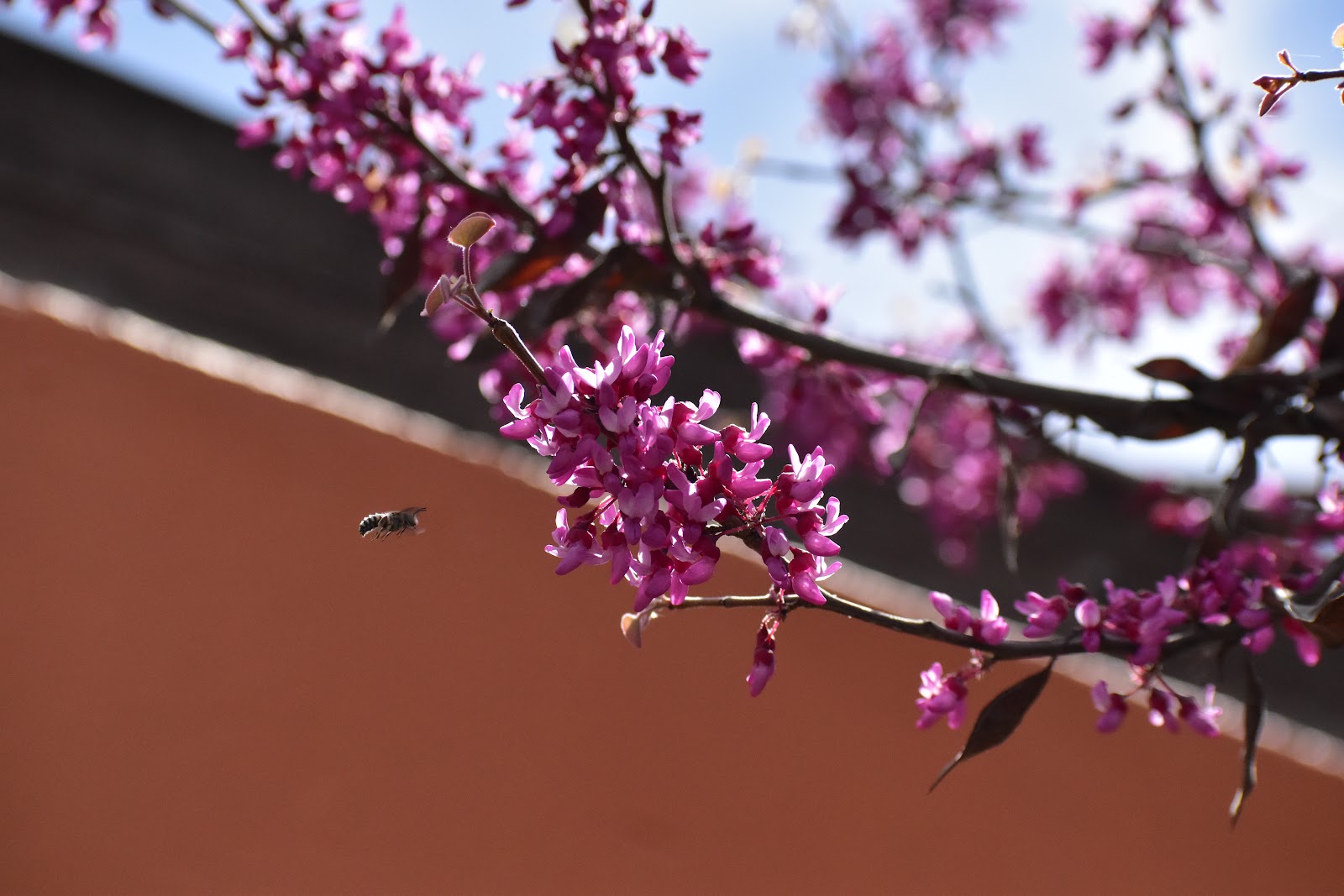
Mexican Redbud or buckeye (?) with a bee zeroing in for an approach
I'm not sure what this is, but I think it is very pretty little flower.

Yucca (it's about 6' tall)

Fairy duster

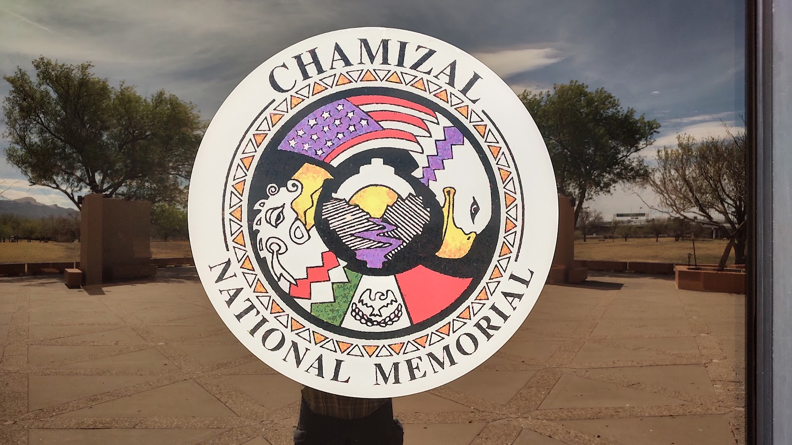
Chamizal National Memorial
In honor of the border agreement between the US and Mexico. Because, you know, it only took 100 years for us to come to an agreement. 🙄
(Chazimal was the name of the disputed territory).

The first Thanksgiving, southwest style.

A map showing the movement of the Rio Grande over the years.
The Mexican side of the memorial.

Again, note the border. Fence, lights rolled razor wire…just sayin' it doesn't look too friendly …

and it goes for miles and miles …

Then we traveled down the El Camino Real de Tierra to check out some more missions.
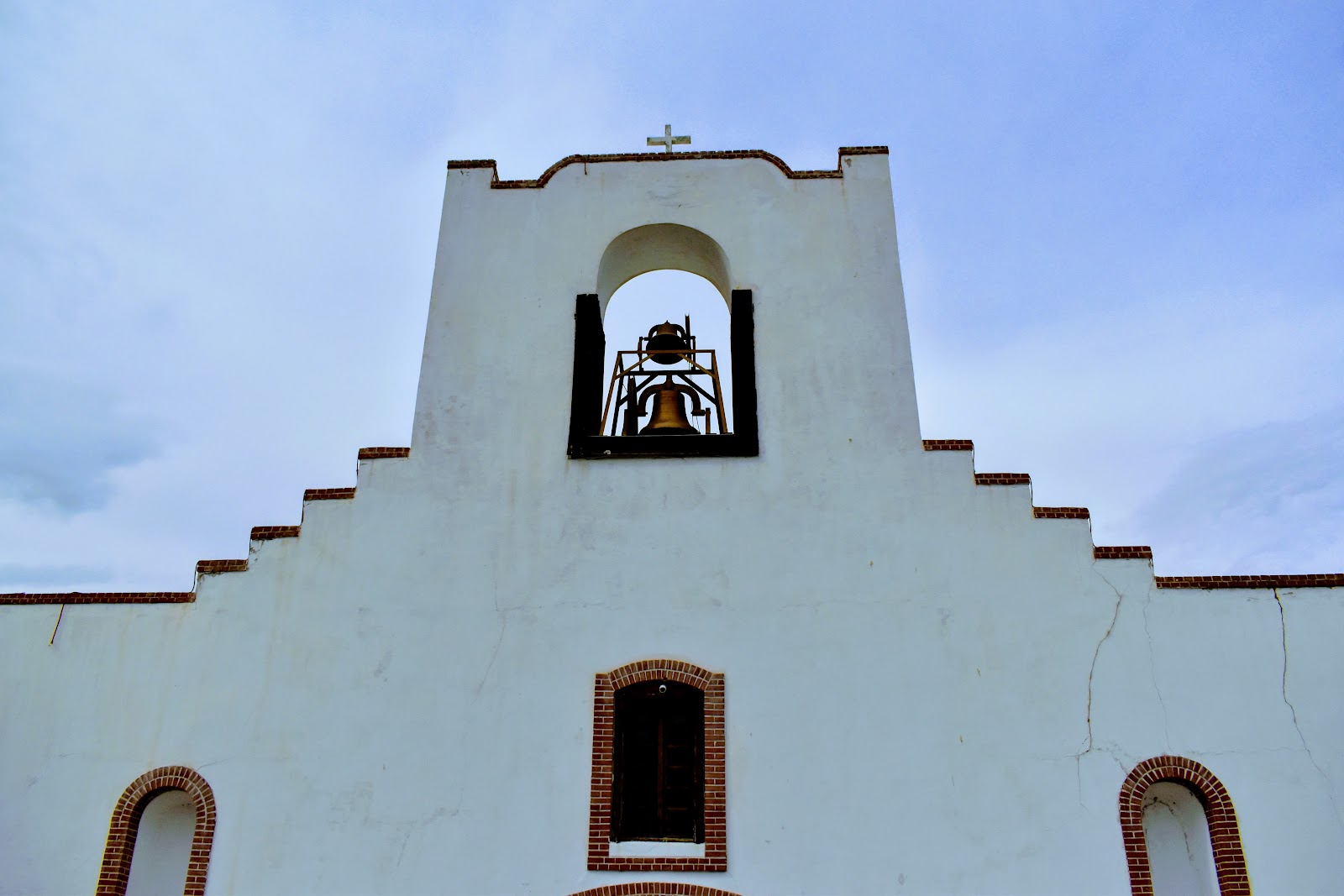
Ysleta Mission


Socoyyo mission

I loved the ceiling. The traditional ceiling in the adobe buildings had beams with sticks placed perpendiculy across the beams. In this church they placed the sticks diagonally, used different types of wood to create a pattern and decorated the beams. It was really beautiful.

and the wall sconces were also artfully created..

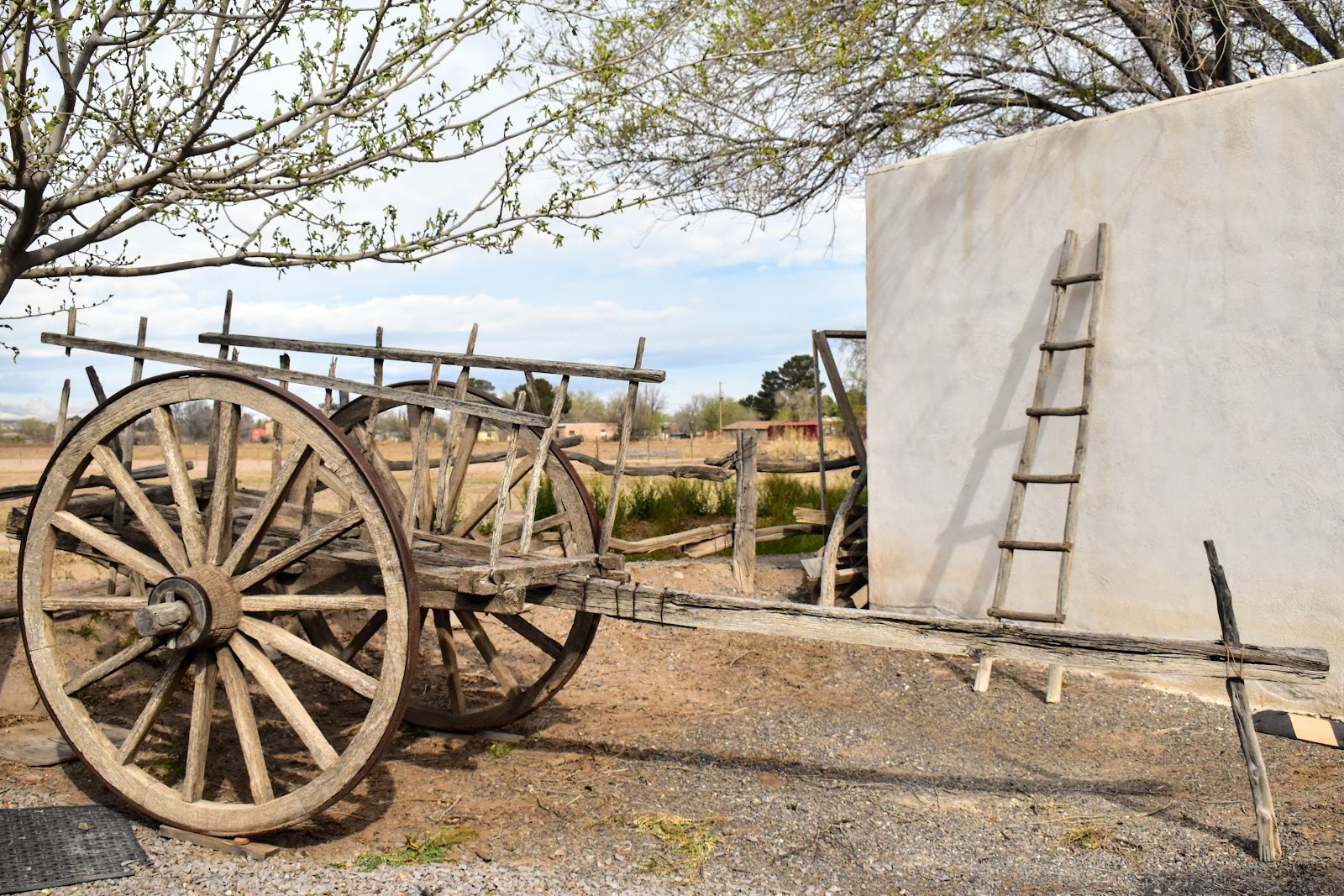
And we spent the night at a harvest host in San Elizario which was established in 1598 (!) It was the site of an early Spanish Presidio and had a well preserved historic area.


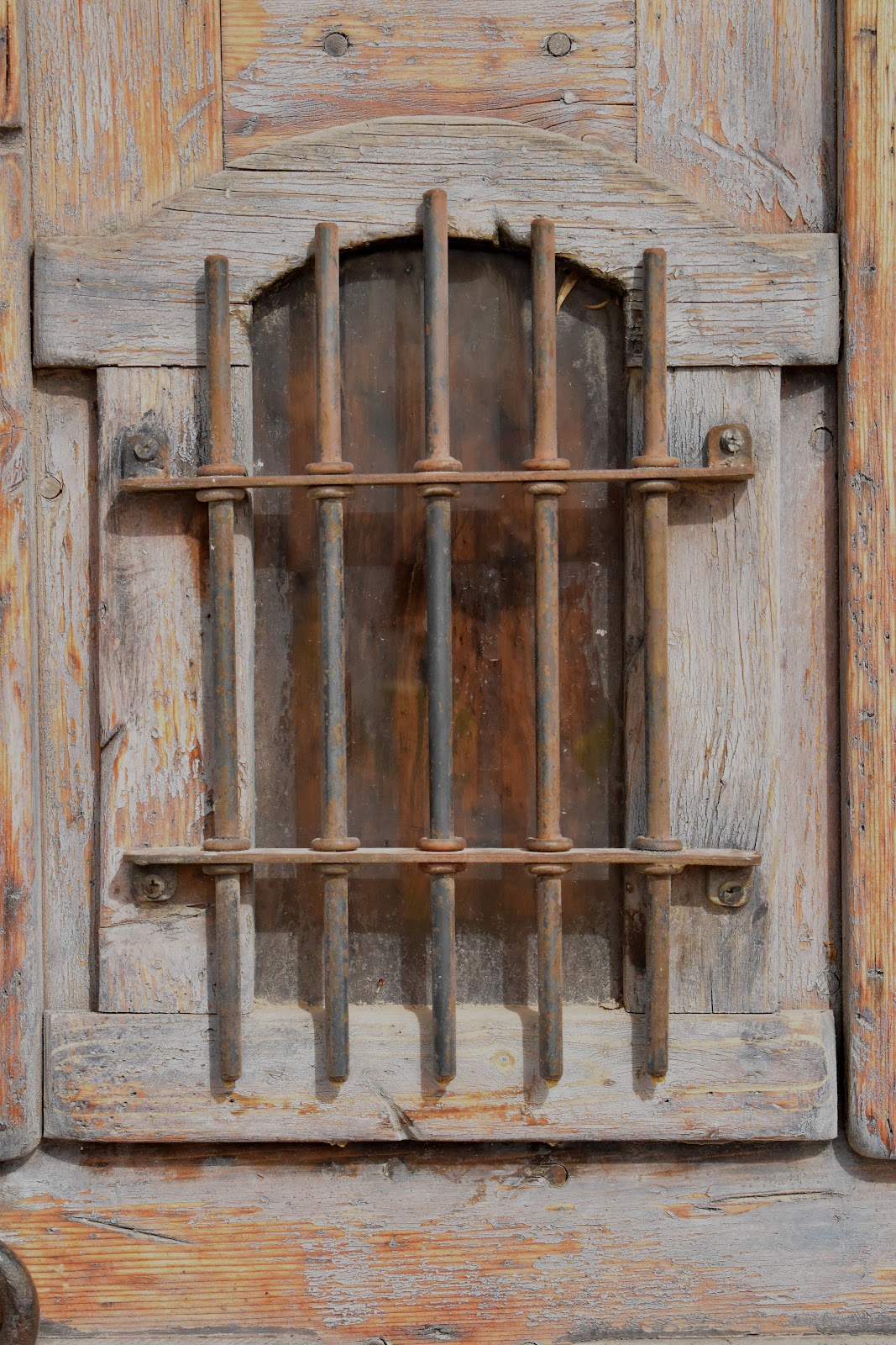
Btw, this is the only jail that Billy the Kid ever broke into. They were holding a buddy of his, so he learned Spanish, rode to the jail and told the jailer he was there to transfer the prisoner. The jailer opened the door, Billy held him up, got his friend out, put the jailer in the cell and they road across the Mexican border (just a couple miles to the south).

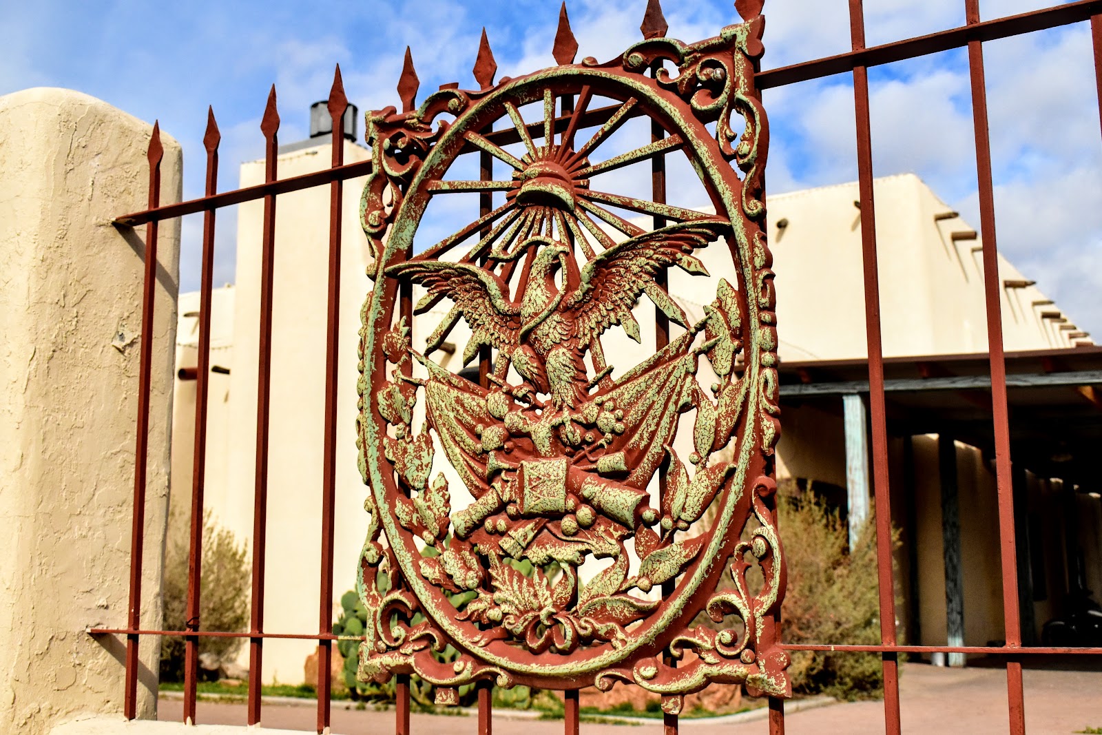
The Presidio seal and wall.
Note the halo over the San Elizario Presidio mission. I'm sure it's just an artifact from the camera lens, but then …maybe it's something more … 🙏🤷🙏

Next stop Oliver Lee SP campground, NM


Comments
Post a Comment